
IMAGES TAKEN NEAR TO
Kilbride View, GLASGOW, G71 6RH
Introduction
This page details the photographs taken nearby to Kilbride View, G71 6RH by members of the Geograph project.
The Geograph project started in 2005 with the aim of publishing, organising and preserving representative images for every square kilometre of Great Britain, Ireland and the Isle of Man.

There are currently over 7.5m images from over14,400 individuals and you can help contribute to the project by visiting https://www.geograph.org.uk
Image Map
Images are licensed for reuse under creativecommons.org/licenses/by-sa/2.0
Notes
- Clicking on the map will re-center to the selected point.
- The higher the marker number, the further away the image location is from the centre of the postcode.
Image Listing (19 Images Found)
Images are licensed for reuse under creativecommons.org/licenses/by-sa/2.0
Image
Details
Distance
4
Woodland Walk Entrance
Thornwood Woods between New Edinburgh Road and the M74
Image: © Jim Smillie
Taken: 7 Oct 2022
0.19 miles
5
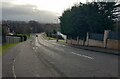
Spindlehowe Road
Part of National Cycle Route 75
Image: © Jim Smillie
Taken: 3 Feb 2023
0.19 miles
6
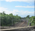
Rails to Glasgow
Just north of Bothwell from M74 northbound
Image: © John Firth
Taken: 9 May 2011
0.20 miles
7
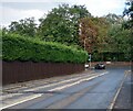
Old Mill Road
At junction with New Edinburgh Road
Image: © Jim Smillie
Taken: 7 Oct 2022
0.21 miles
8
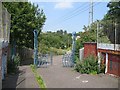
Gates on railway bridge
Anti vehicle gates on a footpath and cycle path which crosses the West Coast main line and M74 between Uddingston and Tannochside.
Image: © Richard Webb
Taken: 25 Jul 2008
0.22 miles
9
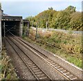
Railways emerging from under M74
Closer line between Uddingston & Motherwell.
Line nearer fence Uddingston & Bellshill.
Image: © Jim Smillie
Taken: 7 Oct 2022
0.22 miles
10
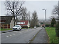
Spindlehowe Road, Viewpark
In the 1920s, the two access roads to Spindlehowe Farm were improved to make a through route between Old Edinburgh Road and New Edinburgh Road. See https://maps.nls.uk/geo/explore/#zoom=16&lat=55.82644&lon=-4.07167&layers=168&b=1 The road is part of National Cycle Route 75.
Image: © wrobison
Taken: 22 Jan 2022
0.22 miles