IMAGES TAKEN NEAR TO
Boghead Road, GLASGOW, G66 4EE
Introduction
This page details the photographs taken nearby to Boghead Road, G66 4EE by members of the Geograph project.
The Geograph project started in 2005 with the aim of publishing, organising and preserving representative images for every square kilometre of Great Britain, Ireland and the Isle of Man.

There are currently over 7.5m images from over14,400 individuals and you can help contribute to the project by visiting https://www.geograph.org.uk
Image Map
Images are licensed for reuse under creativecommons.org/licenses/by-sa/2.0
Notes
- Clicking on the map will re-center to the selected point.
- The higher the marker number, the further away the image location is from the centre of the postcode.
Image Listing (23 Images Found)
Images are licensed for reuse under creativecommons.org/licenses/by-sa/2.0
Image
Details
Distance
1
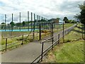
School gate
The locked gate is at the end of a path from Christine's Way into Holy Family Primary School.
Image: © Richard Sutcliffe
Taken: 5 Jul 2023
0.10 miles
2
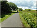
Christine's Way
For most of its length Christine's Way follows the Park Burn. The burn is hidden by vegetation here, but is in the slight dip on the right.
'Christine’s Way runs between Park Burn and The Greens. Local woman Christine Slimming campaigned over a five year period for the path to be upgraded. Christine was a wheelchair user and was frustrated with the old path when she couldn’t get along it in her wheelchair. Sadly Christine died in 2007 but she was able to use the new path several times before she died. In tribute this popular path was named Christine’s Way.' https://www.trailsandtales.org/trails/heritage/christines-way
Image: © Richard Sutcliffe
Taken: 5 Jul 2023
0.10 miles
3
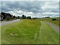
Dark clouds overhead
Broom Gardens are on the left, Christine's Way is on the right.
'Christine’s Way runs between Park Burn and The Greens. Local woman Christine Slimming campaigned over a five year period for the path to be upgraded. Christine was a wheelchair user and was frustrated with the old path when she couldn’t get along it in her wheelchair. Sadly Christine died in 2007 but she was able to use the new path several times before she died. In tribute this popular path was named Christine’s Way.' https://www.trailsandtales.org/trails/heritage/christines-way
Image: © Richard Sutcliffe
Taken: 5 Jul 2023
0.10 miles
4
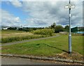
Christine's Way
'Christine’s Way runs between Park Burn and The Greens. Local woman Christine Slimming campaigned over a five year period for the path to be upgraded. Christine was a wheelchair user and was frustrated with the old path when she couldn’t get along it in her wheelchair. Sadly Christine died in 2007 but she was able to use the new path several times before she died. In tribute this popular path was named Christine’s Way.' https://www.trailsandtales.org/trails/heritage/christines-way
Image: © Richard Sutcliffe
Taken: 5 Jul 2023
0.10 miles
5
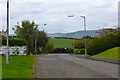
High Gallowhill
One of Kirky's leafier suburbs.
Image: © Robert Murray
Taken: 3 Oct 2015
0.13 miles
6
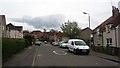
The Greens
Residential area in Kirkintilloch.
Image: © Richard Webb
Taken: 9 May 2012
0.13 miles
7
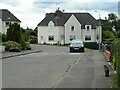
Houses on Westergreens Avenue
A tabby cat surveys his domain.
Image: © Richard Sutcliffe
Taken: 5 Jul 2023
0.14 miles
8
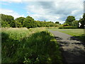
Christine's Way
For most of its length Christine's Way follows the Park Burn. The burn is hidden by vegetation here, but is in the slight dip on the left.
'Christine’s Way runs between Park Burn and The Greens. Local woman Christine Slimming campaigned over a five year period for the path to be upgraded. Christine was a wheelchair user and was frustrated with the old path when she couldn’t get along it in her wheelchair. Sadly Christine died in 2007 but she was able to use the new path several times before she died. In tribute this popular path was named Christine’s Way.' https://www.trailsandtales.org/trails/heritage/christines-way
Image: © Richard Sutcliffe
Taken: 5 Jul 2023
0.14 miles
9
Park burn and farmland near Kirkintilloch
An unfortunate trolley abandoned in the burn.
Image: © Steven Brown
Taken: 4 Dec 2021
0.17 miles