
IMAGES TAKEN NEAR TO
Manse Road, GLASGOW, G65 0BY
Introduction
This page details the photographs taken nearby to Manse Road, G65 0BY by members of the Geograph project.
The Geograph project started in 2005 with the aim of publishing, organising and preserving representative images for every square kilometre of Great Britain, Ireland and the Isle of Man.

There are currently over 7.5m images from over14,400 individuals and you can help contribute to the project by visiting https://www.geograph.org.uk
Image Map
Images are licensed for reuse under creativecommons.org/licenses/by-sa/2.0
Notes
- Clicking on the map will re-center to the selected point.
- The higher the marker number, the further away the image location is from the centre of the postcode.
Image Listing (8 Images Found)
Images are licensed for reuse under creativecommons.org/licenses/by-sa/2.0
Image
Details
Distance
1
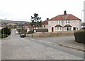
St Mirren's Rd, Kilsyth
St Mirren's Rd, Kilsyth typical housing for much of this square
Image: © Jim Bain
Taken: 26 Feb 2006
0.14 miles
2
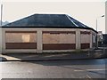
Co-operative Grocery Store (unoccupied)
Image: © Texas Radio and The Big Beat
Taken: 20 Feb 2010
0.16 miles
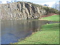
4
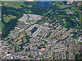
Kilsyth from the air
Looking over Shuttle Street towards North Barwood and Banton Loch.
Image: © Thomas Nugent
Taken: 12 Jul 2019
0.21 miles
5
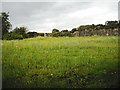
Wild flowers: Auchinstarry quarry
Yellow daisies and blue cornflowers?
Image: © Jim Smillie
Taken: 9 Sep 2009
0.22 miles
6
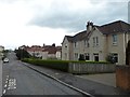
Barrwood, Kilsyth
Residential area to the east of the town.
Image: © Stephen Sweeney
Taken: 3 Apr 2012
0.23 miles
7
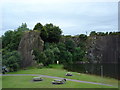
Auchinstarry Quarry, Kilsyth
Disused quarry popular with rock climbers
Image: © paul birrell
Taken: 7 Jul 2005
0.23 miles
8
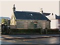
Old Nunnery, Low Craigends
I'm sure with a little work this old villa would make someone a nice home.
Image: © Texas Radio and The Big Beat
Taken: 20 Feb 2010
0.25 miles