
IMAGES TAKEN NEAR TO
Grant Place, GLASGOW, G61 3FA
Introduction
This page details the photographs taken nearby to Grant Place, G61 3FA by members of the Geograph project.
The Geograph project started in 2005 with the aim of publishing, organising and preserving representative images for every square kilometre of Great Britain, Ireland and the Isle of Man.

There are currently over 7.5m images from over14,400 individuals and you can help contribute to the project by visiting https://www.geograph.org.uk
Image Map
Images are licensed for reuse under creativecommons.org/licenses/by-sa/2.0
Notes
- Clicking on the map will re-center to the selected point.
- The higher the marker number, the further away the image location is from the centre of the postcode.
Image Listing (239 Images Found)
Images are licensed for reuse under creativecommons.org/licenses/by-sa/2.0
Image
Details
Distance
1
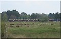
Train to Milngavie
A Motherwell to Milngavie train passes the former recreation ground.
Image: © Richard Sutcliffe
Taken: 8 May 2016
0.02 miles
2
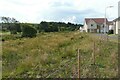
Ground between the railway and new houses
This strip of wet grassland runs between the railway line to Milngavie (on the left) and Cobden Crescent (on the right). It is a good habitat for wildlife. A local resident told me he regularly sees roe deer, red foxes, rabbits and buzzards, amongst others.
Image: © Richard Sutcliffe
Taken: 8 Aug 2021
0.02 miles
3
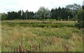
Grassland beside the railway
This strip of wet grassland runs between the railway line to Milngavie and Cobden Crescent (behind the photographer). The Manse Burn runs just in front of the railway. Beyond is part of Douglas Park Golf Course.
It is a good habitat for wildlife. A local resident told me he regularly sees roe deer, red foxes, rabbits and buzzards, amongst others.
Image: © Richard Sutcliffe
Taken: 8 Aug 2021
0.02 miles
4
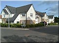
Corner of Dalgleish Drive and Grant Place
Recently built houses.
Image: © Richard Sutcliffe
Taken: 16 Oct 2022
0.02 miles
5
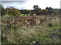
Railway line to Milngavie
Seen from Cobden Crescent. The Manse Burn is in the foreground. Part of Douglas Park Golf Course can be seen on the other side of the railway.
Image: © Richard Sutcliffe
Taken: 16 Oct 2022
0.03 miles
6
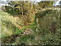
Drainage ditch
The drainage ditch joins the Manse Burn about 50m to the east.
Image: © Richard Sutcliffe
Taken: 16 Oct 2022
0.04 miles
7
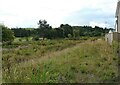
Grassland beside the railway
This strip of wet grassland runs between the railway line to Milngavie and the new housing development. The Manse Burn runs just in front of the railway. Beyond is part of Douglas Park Golf Course.
It is a good habitat for wildlife. A local resident told me he regularly sees roe deer, red foxes, rabbits and buzzards, amongst others.
Image: © Richard Sutcliffe
Taken: 8 Aug 2021
0.05 miles
8
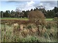
Railway line to Milngavie
Seen from Cobden Crescent. Part of Douglas Park Golf Course can be seen on the other side of the railway.
Image: © Richard Sutcliffe
Taken: 16 Oct 2022
0.05 miles
9
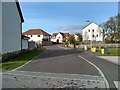
Morrison Way
Looking towards Dalgleish Drive.
Image: © Richard Sutcliffe
Taken: 16 Oct 2022
0.06 miles
10
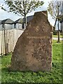
Modern-day standing stone
This one declares that the nearby houses are Robertson Homes.
Image: © Richard Sutcliffe
Taken: 16 Oct 2022
0.06 miles