
IMAGES TAKEN NEAR TO
Dochart Drive, GLASGOW, G33 1PQ
Introduction
This page details the photographs taken nearby to Dochart Drive, G33 1PQ by members of the Geograph project.
The Geograph project started in 2005 with the aim of publishing, organising and preserving representative images for every square kilometre of Great Britain, Ireland and the Isle of Man.

There are currently over 7.5m images from over14,400 individuals and you can help contribute to the project by visiting https://www.geograph.org.uk
Image Map
Images are licensed for reuse under creativecommons.org/licenses/by-sa/2.0
Notes
- Clicking on the map will re-center to the selected point.
- The higher the marker number, the further away the image location is from the centre of the postcode.
Image Listing (10 Images Found)
Images are licensed for reuse under creativecommons.org/licenses/by-sa/2.0
Image
Details
Distance
1
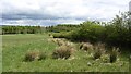
Non productive farmland, Auchinleck Road
Some of this farmland has been planted with trees, but the fields here no longer have stock proof fencing and probably await development. They must provide some good grazing for the roe deer.
The field was also handy for avoiding curtilage at Auchinleck and following the disused Auchinleck Road.
Image: © Richard Webb
Taken: 9 May 2012
0.10 miles
2
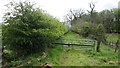
Auchinleck Road
The road is a drive in its northern part and disused to the south. Went on the bike though.
Image: © Richard Webb
Taken: 9 May 2012
0.20 miles
3
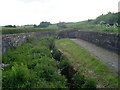
Stream and Wallace's Well
The well at the back of the image is reputed to be where William Wallace took his last drink as a free man.
Image: © Stephen Sweeney
Taken: 3 Jun 2009
0.20 miles
4
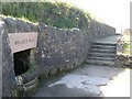
Wallace's Well
Believed to be the last place William Wallace enjoyed a drink as a free man. His place of capture is marked by a monument just a few hundred yards to the west of here.
Image: © Stephen Sweeney
Taken: 9 Sep 2009
0.21 miles
6
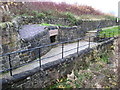
Wallace's Well
The well was where the Scottish Patriot, William Wallace drew his water during the time he lived in Robroyston where he was betrayed, a betrayal which led to his execution in London. The site of the house he lived in is only a few hundred yards from the well.
Image: © James Denham
Taken: 16 Nov 2013
0.22 miles
7
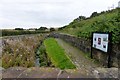
Wallace's Well
Unlike the many hundreds of other Wallace's Wells, caves, stones, bridges etc. dotted around the country this one might just have a real connection to the real hero of the Scottish wars of independence.
Image: © Robert Murray
Taken: 3 Oct 2015
0.22 miles
8
Road past Wallace's Well
Langmuirhead Road.
Image: © Robert Murray
Taken: 3 Oct 2015
0.22 miles
9
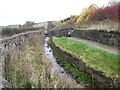
The burn at Wallace's Well near Robroyston
Image: © James Denham
Taken: 16 Nov 2013
0.22 miles
10
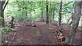
Woodland, Robroyston
A useful bit of singletrack linking Robroyston's new houses and Auchinleck Road. The woods surrounded a hospital, the site of which is now a housing estate.
Image: © Richard Webb
Taken: 9 May 2012
0.22 miles