IMAGES TAKEN NEAR TO
Crosland Road North, LYTHAM ST. ANNES, FY8 3EP
Introduction
This page details the photographs taken nearby to Crosland Road North, FY8 3EP by members of the Geograph project.
The Geograph project started in 2005 with the aim of publishing, organising and preserving representative images for every square kilometre of Great Britain, Ireland and the Isle of Man.

There are currently over 7.5m images from over14,400 individuals and you can help contribute to the project by visiting https://www.geograph.org.uk
Image Map
Images are licensed for reuse under creativecommons.org/licenses/by-sa/2.0
Notes
- Clicking on the map will re-center to the selected point.
- The higher the marker number, the further away the image location is from the centre of the postcode.
Image Listing (18 Images Found)
Images are licensed for reuse under creativecommons.org/licenses/by-sa/2.0
Image
Details
Distance
1
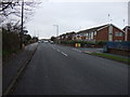
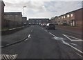
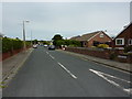
Kilnhouse Lane
Looking south west, junction with Crosland Road North..
Image: © JThomas
Taken: 15 Nov 2014
0.07 miles
3
St Alban's Catholic Church, St Annes
Image: © Alexander P Kapp
Taken: 12 May 2010
0.12 miles
4
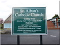
St Alban's Catholic Church, St Annes, Sign
Image: © Alexander P Kapp
Taken: 12 May 2010
0.12 miles
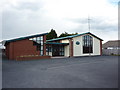
5
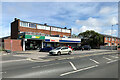
Subway and Tesco Express, Kilnhouse Lane
Image: © David Dixon
Taken: 7 Aug 2022
0.12 miles
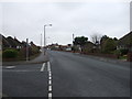
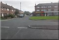
7
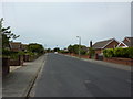
Walter Avenue
Residential area to the northeast of Derwent Road.
Image: © Barbara Carr
Taken: 27 Oct 2013
0.17 miles
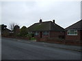
9
Springfield Gardens, St Anne's
'New City' Chinese takeaway and housing
Image: © Barbara Carr
Taken: 27 Oct 2013
0.19 miles