IMAGES TAKEN NEAR TO
Garstang Road East, POULTON-LE-FYLDE, FY6 7EH
Introduction
This page details the photographs taken nearby to Garstang Road East, FY6 7EH by members of the Geograph project.
The Geograph project started in 2005 with the aim of publishing, organising and preserving representative images for every square kilometre of Great Britain, Ireland and the Isle of Man.

There are currently over 7.5m images from over14,400 individuals and you can help contribute to the project by visiting https://www.geograph.org.uk
Image Map (27 Images)


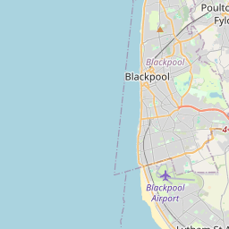
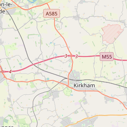

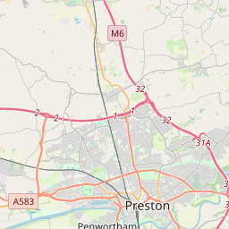
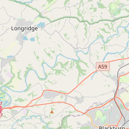

Leaflet Map data © OpenStreetMap
Images are licensed for reuse under creativecommons.org/licenses/by-sa/2.0
Notes
- Clicking on the map will re-center to the selected point.
- The higher the marker number, the further away the image location is from the centre of the postcode.
Image Listing (27 Images Found)
Images are licensed for reuse under creativecommons.org/licenses/by-sa/2.0
Image
Details
Distance

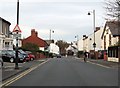
4
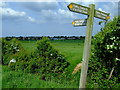
Looking towards Carr Head school from the footpath bridge
Image: © Colin Eastwood
Taken: 20 May 2008
0.17 miles
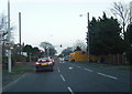
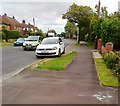
5
Queueing
The busy intersection of the A588 and A586 near Poulton, on the "rush" hour crawl into Blackpool.
Image: © Roger May
Taken: 7 Sep 2005
0.17 miles
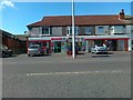
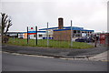
6
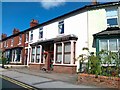
Funeral Service, Station Road, Poulton-le-Fylde
Image: © Alex McGregor
Taken: 29 Jun 2011
0.18 miles
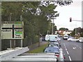
7
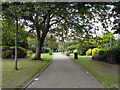
Jean Stansfield Memorial Park, Poulton-Le-Fylde
Image: © David Dixon
Taken: 1 Sep 2011
0.18 miles