IMAGES TAKEN NEAR TO
Poulton Old Road, BLACKPOOL, FY3 7LB
Introduction
This page details the photographs taken nearby to Poulton Old Road, FY3 7LB by members of the Geograph project.
The Geograph project started in 2005 with the aim of publishing, organising and preserving representative images for every square kilometre of Great Britain, Ireland and the Isle of Man.

There are currently over 7.5m images from over14,400 individuals and you can help contribute to the project by visiting https://www.geograph.org.uk
Image Map
Images are licensed for reuse under creativecommons.org/licenses/by-sa/2.0
Notes
- Clicking on the map will re-center to the selected point.
- The higher the marker number, the further away the image location is from the centre of the postcode.
Image Listing (10 Images Found)
Images are licensed for reuse under creativecommons.org/licenses/by-sa/2.0
Image
Details
Distance
2
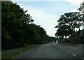
Poulton Old Road
Residential area, just east of the roundabout which is at the junction of the A586 and the A587.
Image: © Barbara Carr
Taken: 17 Nov 2013
0.15 miles
3
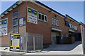
Industrial units, Chorley Road, Blackpool
Image: © Tom Richardson
Taken: 5 Jul 2008
0.19 miles
4
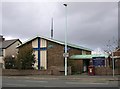
St George, Blackpool
Origimally a Congregational Church this United Reformed Church building was still in use when this image was taken.
Image: © Steve Houldsworth
Taken: Unknown
0.20 miles
5
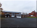
St George's United Reformed Church
On Plymouth Road, Layton.
Image: © Barbara Carr
Taken: 17 Nov 2013
0.21 miles
7
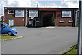
Entrance to S & S Timber, Chorley Road, Blackpool
Image: © Tom Richardson
Taken: 5 Jul 2008
0.22 miles
8
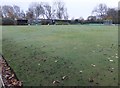
Boundary Park Bowling Club
The nearby notice board says:
"We are a friendly club and welcome new members to join as team players or simply to enjoy our numerous social events".
(Very reasonable rates, too!)
Image: © Barbara Carr
Taken: 17 Nov 2013
0.22 miles
9
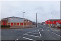
Mowbray Drive
Industrial estate to the east of the A587 near Layton Station.
Image: © Barbara Carr
Taken: 17 Nov 2013
0.23 miles