
IMAGES TAKEN NEAR TO
Buchanan Drive, STIRLING, FK9 5HD
Introduction
This page details the photographs taken nearby to Buchanan Drive, FK9 5HD by members of the Geograph project.
The Geograph project started in 2005 with the aim of publishing, organising and preserving representative images for every square kilometre of Great Britain, Ireland and the Isle of Man.

There are currently over 7.5m images from over14,400 individuals and you can help contribute to the project by visiting https://www.geograph.org.uk
Image Map
Images are licensed for reuse under creativecommons.org/licenses/by-sa/2.0
Notes
- Clicking on the map will re-center to the selected point.
- The higher the marker number, the further away the image location is from the centre of the postcode.
Image Listing (14 Images Found)
Images are licensed for reuse under creativecommons.org/licenses/by-sa/2.0
Image
Details
Distance
2
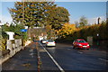
Road to Causewayhead
With the Wallace Monument in the background.
Image: © Trevor Harris
Taken: 27 Oct 2010
0.10 miles
3
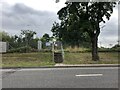
Network Rail access point on Causewayhead Road
Not a footpath for the general public but for maintenance work to be carried out on the railway
Image: © Eirian Evans
Taken: 7 Sep 2021
0.11 miles

5
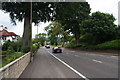
Causewayhead Road
The road, railway and River Forth all run parallel at this point, and I was hoping for a better view over the meandering river. The slightly raised railway on the right blocks any possible view.
Image: © Bill Boaden
Taken: 8 Aug 2013
0.14 miles
6
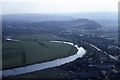
View towards Causewayhead from Wallace Monument
Image: © Colin Park
Taken: 17 Apr 1982
0.15 miles
7
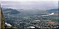
Causewayhead from the Wallace Monument
Looking south west over Causewayhead and the River Forth towards Stirling Castle.
Image: © Gordon Hatton
Taken: Unknown
0.16 miles
8
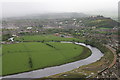
Stirling from the Wallace Monument
Stirling Castle is in the distance on the right and a train heads along the railway line in the bottom right. The Battle of Stirling Bridge was fought in the loop of the Forth on the right.
Image: © Mike Pennington
Taken: 4 May 2009
0.17 miles
9
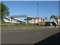
Railway Footbridge, Cornton, Stirling
About a mile north of Stirling railweay station.
Image: © G Laird
Taken: 6 May 2017
0.18 miles
10
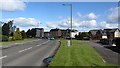
Cornton Road
The B823 between Stirling and Bridge of Allan.
Image: © Richard Webb
Taken: 12 May 2012
0.20 miles