IMAGES TAKEN NEAR TO
Cambusbarron, STIRLING, FK8 3AL
Introduction
This page details the photographs taken nearby to FK8 3AL by members of the Geograph project.
The Geograph project started in 2005 with the aim of publishing, organising and preserving representative images for every square kilometre of Great Britain, Ireland and the Isle of Man.

There are currently over 7.5m images from over14,400 individuals and you can help contribute to the project by visiting https://www.geograph.org.uk
Image Map
Images are licensed for reuse under creativecommons.org/licenses/by-sa/2.0
Notes
- Clicking on the map will re-center to the selected point.
- The higher the marker number, the further away the image location is from the centre of the postcode.
Image Listing (6 Images Found)
Images are licensed for reuse under creativecommons.org/licenses/by-sa/2.0
Image
Details
Distance
1
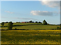
Hillhead
The meadow, yellow with buttercups, is just beneath Gartur.
Image: © Andrew Smith
Taken: 11 Jun 2006
0.05 miles
2
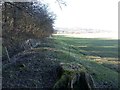
Walking route
A signposted route links Kersebonny Road and Touch Road. To the east of this point the route runs on a path at the edge of a woodland. Westwards the walker must follow the field edge.
Image: © Callum Black
Taken: 7 Mar 2016
0.11 miles
3
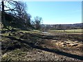
Farm track
On a signposted walking route between Kersebonny Road and Touch Road.
Image: © Callum Black
Taken: 7 Mar 2016
0.12 miles
4
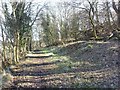
Woodland path
Following the route of a long abandoned tramway which linked the Murrayshall Lime Works to the (now dismantled) main line, 1km to the north.
Image: © Callum Black
Taken: 7 Mar 2016
0.13 miles
5
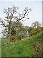
Ash, Hillhead
Taken from the Touch road, the ash tree is as usual rather slow in coming into leaf.
Image: © Richard Webb
Taken: 11 May 2008
0.15 miles