
IMAGES TAKEN NEAR TO
Quarry Road, STIRLING, FK7 9NB
Introduction
This page details the photographs taken nearby to Quarry Road, FK7 9NB by members of the Geograph project.
The Geograph project started in 2005 with the aim of publishing, organising and preserving representative images for every square kilometre of Great Britain, Ireland and the Isle of Man.

There are currently over 7.5m images from over14,400 individuals and you can help contribute to the project by visiting https://www.geograph.org.uk
Image Map
Images are licensed for reuse under creativecommons.org/licenses/by-sa/2.0
Notes
- Clicking on the map will re-center to the selected point.
- The higher the marker number, the further away the image location is from the centre of the postcode.
Image Listing (7 Images Found)
Images are licensed for reuse under creativecommons.org/licenses/by-sa/2.0
Image
Details
Distance
2
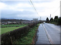
Approaching Cambusbarron
This is Touch Road. The road descends to Cambusbarron with (on a clear day) a fine view over the village and beyond to Stirling.
Image: © Richard Dorrell
Taken: 13 Nov 2015
0.08 miles
3
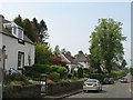
Touch Road, Cambusbarron
Looking out from the village.
Image: © Richard Webb
Taken: 11 May 2008
0.13 miles
4
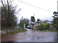
Gartur Lodge
At the entrance to Gartur House from Touch Road, west of the village of Cambusbarron. Gartur House itself dates from the 17th century, but in spite of several proposals in the late 20th century to convert the building into flats, it is now in a ruinous state.
Image: © Richard Dorrell
Taken: 13 Nov 2015
0.15 miles
5
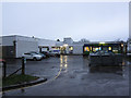
Cambusbarron Primary School
Primary school with nursery department, currently with a roll of 212 pupils aged 3 - 11.
Image: © Richard Dorrell
Taken: 13 Nov 2015
0.22 miles
6
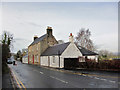
Main Street, Cambusbarron
Looking west, out of the village, from opposite the junction with Mill Hill.
Image: © Richard Dorrell
Taken: 14 Nov 2015
0.23 miles
7
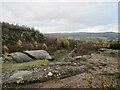
Cambusbarron Quarry (disused)
A disused whinstone quarry on this small hill near Stirling, which is one of a number of 'crag and tail' formations in the area, including the rock on which Stirling Castle sits.
Image: © Alan O'Dowd
Taken: 16 Nov 2022
0.23 miles