
IMAGES TAKEN NEAR TO
Hawthorn Crescent, STIRLING, FK7 7EY
Introduction
This page details the photographs taken nearby to Hawthorn Crescent, FK7 7EY by members of the Geograph project.
The Geograph project started in 2005 with the aim of publishing, organising and preserving representative images for every square kilometre of Great Britain, Ireland and the Isle of Man.

There are currently over 7.5m images from over14,400 individuals and you can help contribute to the project by visiting https://www.geograph.org.uk
Image Map
Images are licensed for reuse under creativecommons.org/licenses/by-sa/2.0
Notes
- Clicking on the map will re-center to the selected point.
- The higher the marker number, the further away the image location is from the centre of the postcode.
Image Listing (19 Images Found)
Images are licensed for reuse under creativecommons.org/licenses/by-sa/2.0
Image
Details
Distance
1
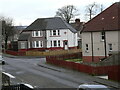
Bandeath Road
Bandeath Road, Fallin. The 55 Bus stops here.
Image: © Sophia
Taken: 18 Jan 2023
0.05 miles
2
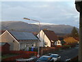
Bandeath Road North
Bandeath Road Facing North, Ochil Hills in background.
Image: © Sophia
Taken: 18 Jan 2023
0.05 miles
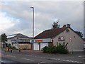
4
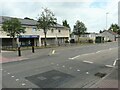
Shops, Fallin
Rightmedicine Pharmacy and Aldo's Fish & Chicken Bar beside the A905, Stirling Road in Fallin. The shop unit between them appears to be empty.
This is an image to replicate the first submitted for this square in 2006 Image
Image: © Richard Sutcliffe
Taken: 13 Jul 2021
0.10 miles
5
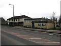
Fallin Library
In the centre of Fallin on the A905.
Image: © G Laird
Taken: 29 Feb 2012
0.11 miles
6
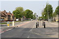
Fallin - Stirling Road
Stirling Road (A905) the main route through Fallin, the former mining village. A westwards view towards Stirling (the Castle is in view behind the lampposts). The image was taken from the junction at Bandeath Road.
Image: © Daniel Tetstall
Taken: 29 Apr 2011
0.11 miles
7
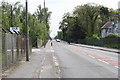
Fallin - Stirling Road
Stirling Road (A905) the main route through Fallin, the former mining village. A eastwards view. To the right is Bandeath House (former village Doctor's house) and adjacent woodland, locally known as 'Doctor's Woods'.
On the left is DLE engineering workshop.
Image: © Daniel Tetstall
Taken: 29 Apr 2011
0.12 miles
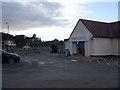
10
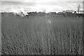
Looking across the River Forth to Fallin
Image: © Donald MacDonald
Taken: 19 Feb 2012
0.14 miles