
IMAGES TAKEN NEAR TO
Bruce View, STIRLING, FK7 0LA
Introduction
This page details the photographs taken nearby to Bruce View, FK7 0LA by members of the Geograph project.
The Geograph project started in 2005 with the aim of publishing, organising and preserving representative images for every square kilometre of Great Britain, Ireland and the Isle of Man.

There are currently over 7.5m images from over14,400 individuals and you can help contribute to the project by visiting https://www.geograph.org.uk
Image Map
Images are licensed for reuse under creativecommons.org/licenses/by-sa/2.0
Notes
- Clicking on the map will re-center to the selected point.
- The higher the marker number, the further away the image location is from the centre of the postcode.
Image Listing (32 Images Found)
Images are licensed for reuse under creativecommons.org/licenses/by-sa/2.0
Image
Details
Distance
1
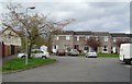
Bannockburn
Houses photographed on a trip to the post office. Which one is no. 1314?
Image: © Richard Webb
Taken: 3 May 2006
0.04 miles
2
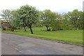
Fresh green growth at Milton Bog
By the road to Carron Bridge.
Image: © Alan Reid
Taken: 7 May 2019
0.07 miles
3
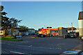
U-Save Convenience Store
Located in Gillespie Place, Whins of Milton.
Image: © Richard Dorrell
Taken: 26 Sep 2020
0.07 miles
4
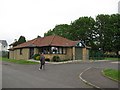
Vets, New Line road
Bruceview Veterinary Clinic, between Glasgow Road and New Line Road, Bannockburn.
Image: © Richard Webb
Taken: 15 May 2011
0.08 miles
6
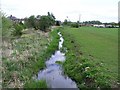
Mill lade at Milton Bog
This lade leaves the Bannock Burn at the Chartershall weir.
Image: © Robert Murray
Taken: 9 May 2010
0.10 miles
7
Milton Bog
Grassland at Chartershall and beneath the big flagpole at the Bannockburn Heritage Centre.
Image: © Richard Webb
Taken: 15 Mar 2012
0.10 miles
8
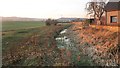
Mill Lade
Now silting up, the lade once used water from the Bannock Burn to power a mill.
Image: © Richard Webb
Taken: 18 Jan 2013
0.11 miles
9
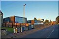
Stirling Inclusion Support Service, Chartershall Base
Located in Fairhill Road, Whins of Milton. SISS is a provision that supports Stirling schools to meet the needs of pupils who have social emotional and behavioural needs. The Chartershall Base caters for up to 18 secondary aged pupils.
Image: © Richard Dorrell
Taken: 26 Sep 2020
0.12 miles
10
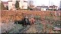
Mill Lade
The lade passes under Milton Road, a major route out of Stirling.
Image: © Richard Webb
Taken: 18 Jan 2013
0.14 miles