
IMAGES TAKEN NEAR TO
Paton Drive, LARBERT, FK5 4XD
Introduction
This page details the photographs taken nearby to Paton Drive, FK5 4XD by members of the Geograph project.
The Geograph project started in 2005 with the aim of publishing, organising and preserving representative images for every square kilometre of Great Britain, Ireland and the Isle of Man.

There are currently over 7.5m images from over14,400 individuals and you can help contribute to the project by visiting https://www.geograph.org.uk
Image Map
Images are licensed for reuse under creativecommons.org/licenses/by-sa/2.0
Notes
- Clicking on the map will re-center to the selected point.
- The higher the marker number, the further away the image location is from the centre of the postcode.
Image Listing (13 Images Found)
Images are licensed for reuse under creativecommons.org/licenses/by-sa/2.0
Image
Details
Distance
4
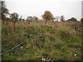
Site of Bellsdyke Hospital
A large site, once it contained a mental hospital. Now being redeveloped.
Image: © Richard Webb
Taken: 18 Sep 2009
0.13 miles
5
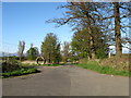
The road to Hill of Kinaird Farm near Stenhousemuir
Image: © James Denham
Taken: 18 Apr 2009
0.15 miles
6
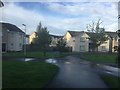
McCormack Place, Kinnaird, Stenhousemuir
Image: © Richard Webb
Taken: 21 Aug 2020
0.15 miles
7
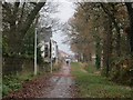
Hamilton Road
The road, now closed to through motorised traffic passes the site of Bellsdyke Hospital. The area is being developed for housing.
Image: © Richard Webb
Taken: 28 Nov 2014
0.16 miles
8
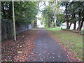
A section of vehicle free Hamilton Road near Antonshill
Looking north-westward.
Image: © Peter Wood
Taken: 29 Sep 2017
0.19 miles
9
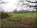
Field off Hamilton Road
Soon to be houses as the land inside the M876 is filled in.
Image: © Richard Webb
Taken: 28 Nov 2014
0.21 miles
10
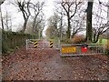
Hamilton Road
Hamilton Road has now been closed to through motorised traffic as part of its development as a housing area.
Image: © Richard Webb
Taken: 28 Nov 2014
0.21 miles