
IMAGES TAKEN NEAR TO
North Shore Road, Grangemouth Docks, GRANGEMOUTH, FK3 8UL
Introduction
This page details the photographs taken nearby to North Shore Road, Grangemouth Docks, FK3 8UL by members of the Geograph project.
The Geograph project started in 2005 with the aim of publishing, organising and preserving representative images for every square kilometre of Great Britain, Ireland and the Isle of Man.

There are currently over 7.5m images from over14,400 individuals and you can help contribute to the project by visiting https://www.geograph.org.uk
Image Map
Images are licensed for reuse under creativecommons.org/licenses/by-sa/2.0
Notes
- Clicking on the map will re-center to the selected point.
- The higher the marker number, the further away the image location is from the centre of the postcode.
Image Listing (4 Images Found)
Images are licensed for reuse under creativecommons.org/licenses/by-sa/2.0
Image
Details
Distance
1
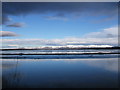
The Ochil hills from the River Carron
Taken from the Grangemouth North road docks in March 2005
Image: © bob connelly
Taken: 26 Mar 2004
0.03 miles
2
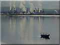
Grangemouth oil refinery
Viewed from the Kincardine bridge approach on the Kincardine side. Originally owned by BP but now run by INEOS. Just too good a shot to miss.
Image: © Chris Allen
Taken: 20 Oct 2016
0.20 miles
3
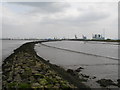
River Carron Breakwater
Firth of Forth on the left of the breakwater and the River Carron on the right.
Image: © Raymond Okonski
Taken: 5 May 2007
0.21 miles
4
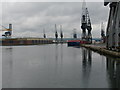
Western Channel, Grangemouth Dock
Not much activity on the day, with traditional cranes lying silent.
Image: © Raymond Okonski
Taken: 17 May 2007
0.25 miles