
IMAGES TAKEN NEAR TO
Edinchip, LOCHEARNHEAD, FK19 8NT
Introduction
This page details the photographs taken nearby to FK19 8NT by members of the Geograph project.
The Geograph project started in 2005 with the aim of publishing, organising and preserving representative images for every square kilometre of Great Britain, Ireland and the Isle of Man.

There are currently over 7.5m images from over14,400 individuals and you can help contribute to the project by visiting https://www.geograph.org.uk
Image Map
Images are licensed for reuse under creativecommons.org/licenses/by-sa/2.0
Notes
- Clicking on the map will re-center to the selected point.
- The higher the marker number, the further away the image location is from the centre of the postcode.
Image Listing (5 Images Found)
Images are licensed for reuse under creativecommons.org/licenses/by-sa/2.0
Image
Details
Distance
1
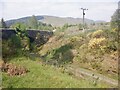
Callendar and Oban railway, Edinchip
The trackbed is in use as an estate road. A grassy track uses the bridge to join a road to Glen Dochart via Glen Kendrum.
Image: © Richard Webb
Taken: 1 Jun 2021
0.15 miles
2
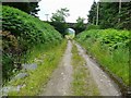
Bridge over the old Callander to Killin railway track-bed
Now a pleasant walk, joining up further east with the Glen Ogle cycle way.
Image: © Gordon Brown
Taken: 19 Jul 2009
0.16 miles
3
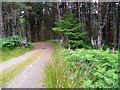
Entering the forest
Her, the path down Glen Kendrum enters the forest as it approaches Lochearnhead.
Image: © Gordon Brown
Taken: 19 Jul 2009
0.18 miles
4
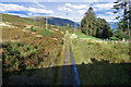
Dismantled railway
Looking towards Lochearnhead
Image: © Anthony O'Neil
Taken: 6 Oct 2016
0.22 miles
5
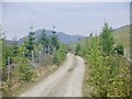
Road, Glen Kendrum
A through route to Glen Dochart.
Image: © Richard Webb
Taken: 1 Jun 2021
0.24 miles