
IMAGES TAKEN NEAR TO
Muckhart, DOLLAR, FK14 7JL
Introduction
This page details the photographs taken nearby to FK14 7JL by members of the Geograph project.
The Geograph project started in 2005 with the aim of publishing, organising and preserving representative images for every square kilometre of Great Britain, Ireland and the Isle of Man.

There are currently over 7.5m images from over14,400 individuals and you can help contribute to the project by visiting https://www.geograph.org.uk
Image Map
Images are licensed for reuse under creativecommons.org/licenses/by-sa/2.0
Notes
- Clicking on the map will re-center to the selected point.
- The higher the marker number, the further away the image location is from the centre of the postcode.
Image Listing (11 Images Found)
Images are licensed for reuse under creativecommons.org/licenses/by-sa/2.0
Image
Details
Distance
1
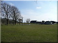
The Leys
A farm south-west of Pool of Muckhart.
Image: © Jonathan Billinger
Taken: 21 Apr 2008
0.02 miles
2
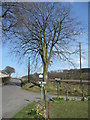
Beech tree
Positioned by the entrance to The Leys.
Image: © Jonathan Billinger
Taken: 21 Apr 2008
0.08 miles
3
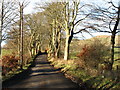
Minor road near The Leys Farm, Muckhart
Image: © David Purchase
Taken: 27 Nov 2012
0.08 miles
4
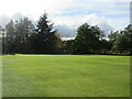
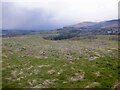
Muckhart Golf Club (Cowden), 7th Hole, Longrigg
The seventh hole on the Cowden Course, looking to the green.
Image: © Scott Cormie
Taken: 7 Oct 2020
0.16 miles
6

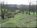
Beech lined road
A minor road near Pool of Muckhart runs between mature beeches. The spacing suggests that the trees were planted rather than being the survivors of an old hedge.
Image: © Richard Webb
Taken: 17 Jun 2012
0.18 miles
7
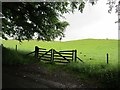
Field, Pool of Muckhart
Grassland beyond the roadside beeches.
Image: © Richard Webb
Taken: 17 Jun 2012
0.18 miles
9
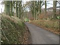
Minor Road.
Looking west on this minor road which runs from the A823 to the A91.
Image: © Paul McIlroy
Taken: 29 Nov 2005
0.19 miles
10
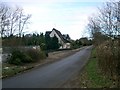
Bungalow.
Situated on minor road that runs from A823 to A91.
Image: © Paul McIlroy
Taken: 29 Nov 2005
0.23 miles