
IMAGES TAKEN NEAR TO
Cowan Terrace, DOLLAR, FK14 7AP
Introduction
This page details the photographs taken nearby to Cowan Terrace, FK14 7AP by members of the Geograph project.
The Geograph project started in 2005 with the aim of publishing, organising and preserving representative images for every square kilometre of Great Britain, Ireland and the Isle of Man.

There are currently over 7.5m images from over14,400 individuals and you can help contribute to the project by visiting https://www.geograph.org.uk
Image Map
Images are licensed for reuse under creativecommons.org/licenses/by-sa/2.0
Notes
- Clicking on the map will re-center to the selected point.
- The higher the marker number, the further away the image location is from the centre of the postcode.
Image Listing (38 Images Found)
Images are licensed for reuse under creativecommons.org/licenses/by-sa/2.0
Image
Details
Distance
1
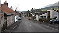
High Street, Dollar
The road is somewhat peripheral and has no commercial activity. This suggests that the minor road via Castleton was once a main route.
Image: © Richard Webb
Taken: 30 Jan 2012
0.09 miles
2
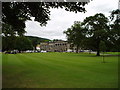
Dollar Academy and Grounds
The Academy was founded in 1818 by John Mcnab a local man who made his money from shipping, The building was designed by William Playfair
Image: © Kevin Rae
Taken: 1 Aug 2005
0.11 miles
3
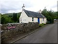
Small Cottage
A small cottage found near the start of Castle Road, Dollar.
Image: © Rude Health
Taken: 19 Aug 2015
0.14 miles
4
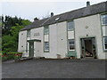
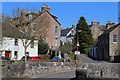
Dollar Museum
The museum occupies the left-hand part of the building; unfortunately only open at weekends for a short period each day. The right-hand part of the building is residential; the diamond plaque above the door reads 'Castle Campbell Hall'.
Image: © M J Richardson
Taken: 3 May 2022
0.16 miles
8

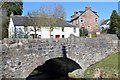
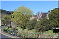
Dollar Burn, Dollar
Looking upstream as the burn flows between West Burnside (left) and East Burnside (right). Also looking towards North Bridge, Back Road, a Category C listed building. https://www.britishlistedbuildings.co.uk/200360521-dollar-back-road-north-bridge-dollar#.WgtcmjFLE5s
Image: © G Laird
Taken: 14 Nov 2017
0.18 miles
9
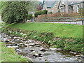
Dollar Burn, looking across to East Burnside
The clumps of white flowers are Wild Garlic or Ramsons [Allium ursinum].
Image: © M J Richardson
Taken: 3 May 2022
0.18 miles
10
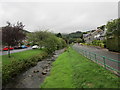
Dollar Burn
Seen from Mylne's Bridge.
Image: © Jonathan Thacker
Taken: 17 Aug 2018
0.19 miles