
IMAGES TAKEN NEAR TO
Slamannan, FALKIRK, FK1 3DZ
Introduction
This page details the photographs taken nearby to FK1 3DZ by members of the Geograph project.
The Geograph project started in 2005 with the aim of publishing, organising and preserving representative images for every square kilometre of Great Britain, Ireland and the Isle of Man.

There are currently over 7.5m images from over14,400 individuals and you can help contribute to the project by visiting https://www.geograph.org.uk
Image Map
Images are licensed for reuse under creativecommons.org/licenses/by-sa/2.0
Notes
- Clicking on the map will re-center to the selected point.
- The higher the marker number, the further away the image location is from the centre of the postcode.
Image Listing (12 Images Found)
Images are licensed for reuse under creativecommons.org/licenses/by-sa/2.0
Image
Details
Distance
3
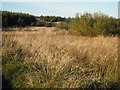
Wetland, Luckenburn
Waterlogged land beside the Luckenburn which was not planted with conifers.
Image: © Richard Webb
Taken: 16 Sep 2009
0.17 miles
5
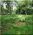
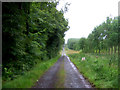
Woodland clearing
Just off track to Shielknowes
Image: © Jim Smillie
Taken: 22 Jun 2021
0.20 miles
6
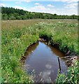
Lucken Burn
Passing through a flat marshy area
Image: © Jim Smillie
Taken: 22 Jun 2021
0.20 miles
7
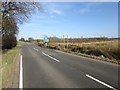
Council boundary: Falkirk and North Lanarkshire
Image: © Euan Nelson
Taken: 8 Apr 2017
0.20 miles
8
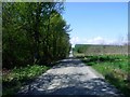
Shielknowes road
Unable to venture further due to logging operations.
See Image for similar view from 2006.
Image: © Robert Murray
Taken: 2 May 2011
0.21 miles
9
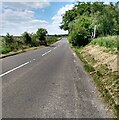
Looking towards North Lanarkshire
Council boundary on B803
Image: © Jim Smillie
Taken: 22 Jun 2021
0.21 miles
10
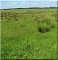
Field corner: left alone
Part of a much larger field which had been mown
Image: © Jim Smillie
Taken: 22 Jun 2021
0.23 miles