
IMAGES TAKEN NEAR TO
DAWLISH, EX7 0PZ
Introduction
This page details the photographs taken nearby to EX7 0PZ by members of the Geograph project.
The Geograph project started in 2005 with the aim of publishing, organising and preserving representative images for every square kilometre of Great Britain, Ireland and the Isle of Man.

There are currently over 7.5m images from over14,400 individuals and you can help contribute to the project by visiting https://www.geograph.org.uk
Image Map
Images are licensed for reuse under creativecommons.org/licenses/by-sa/2.0
Notes
- Clicking on the map will re-center to the selected point.
- The higher the marker number, the further away the image location is from the centre of the postcode.
Image Listing (39 Images Found)
Images are licensed for reuse under creativecommons.org/licenses/by-sa/2.0
Image
Details
Distance
1
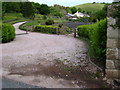
The wide entrance to Houndspool
Too wide for my camera. The smooth hill in the distance is in Image
Image: © Robin Stott
Taken: 20 May 2009
0.07 miles
2
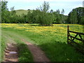
Entrance to a field of buttercups near Houndspool
Tricky! The group of trees, centre, would appear to be at the intersection of gridlines: easting SX 94, northing SX 79, roughly through the corners of the enclosure. The shapely hill beyond the trees is the end of a ridge; a closer view is at Image
Image: © Robin Stott
Taken: 20 May 2009
0.07 miles
5
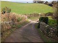
Bridge over Dawlish Water near Jubilee Farm
Image: © David Smith
Taken: 7 Feb 2012
0.12 miles
6
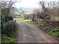
Bridge over Dawlish Water near Houndspool
Image: © David Smith
Taken: 7 Feb 2012
0.12 miles
7
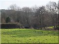
Bridge over Dawlish Water near Houndspool
Image: © David Smith
Taken: 7 Feb 2012
0.12 miles
8
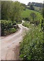
Bridge over Dawlish Water
The lane is about to climb for two kilometres up onto Little Haldon. Seen from the junction with the lane along the Dawlish Water valley.
Image: © Derek Harper
Taken: 21 Apr 2009
0.12 miles
9
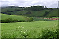
Stream valley near Greenway Lane
In the near valley a stream runs down to join Dawlish Water in the valley beyond. The wood on the ridge, centre, is called Langdon.
Image: © Robin Stott
Taken: 20 May 2009
0.12 miles
10
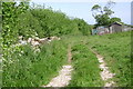
Chickens and tipping, off Greenway Lane
Image: © Robin Stott
Taken: 20 May 2009
0.13 miles