
IMAGES TAKEN NEAR TO
Drewsteignton, EXETER, EX6 6RQ
Introduction
This page details the photographs taken nearby to EX6 6RQ by members of the Geograph project.
The Geograph project started in 2005 with the aim of publishing, organising and preserving representative images for every square kilometre of Great Britain, Ireland and the Isle of Man.

There are currently over 7.5m images from over14,400 individuals and you can help contribute to the project by visiting https://www.geograph.org.uk
Image Map
Images are licensed for reuse under creativecommons.org/licenses/by-sa/2.0
Notes
- Clicking on the map will re-center to the selected point.
- The higher the marker number, the further away the image location is from the centre of the postcode.
Image Listing (10 Images Found)
Images are licensed for reuse under creativecommons.org/licenses/by-sa/2.0
Image
Details
Distance
1
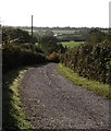
Lane to Flood Farm
Seen from the lane between Whiddon Down and Hittisleigh. Flood is at the head of a side-valley above the Yeo. A longhouse, its listed description dates from when it was unoccupied http://www.imagesofengland.org.uk/Details/Default.aspx?id=94836&mode=adv . Grendon Farm, in Image, can be spotted a couple of valleys further across.
Image: © Derek Harper
Taken: 17 Oct 2009
0.09 miles
2
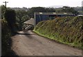
Chapple
A lane leads down to the farm buildings from the lane between Whiddon Down to Hittisleigh. Like Flood close by (Image), the farm is in a sheltered position a little way down the valley side from the ridge.
Image: © Derek Harper
Taken: 17 Oct 2009
0.13 miles
3
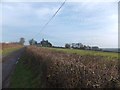
Grazing land south-west of Chapple
On the skyline are some of the buildings associated with the farm at Chapple. The low shed to the right of the house has a weather-vane shaped like a llama or alpaca, but there were none of the animals grazing on this wintery day.
Image: © David Smith
Taken: 16 Jan 2013
0.16 miles
4
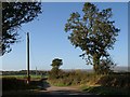
Lane at Chapple
The lane from Hittisleigh to Whiddon Down passes the postbox shown in Image
Image: © Derek Harper
Taken: 17 Oct 2009
0.17 miles
5
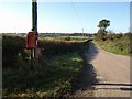
Postbox near Chapple
Postbox EX6 174 by the lane from Hittisleigh to Whiddon Down.
Image: © Derek Harper
Taken: 17 Oct 2009
0.17 miles
6
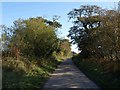
Lane to Hittisleigh
Further along Image, where, just past the turn to Thornbury, it runs between some roadside trees.
Image: © Derek Harper
Taken: 17 Oct 2009
0.18 miles
7
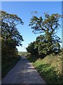
Lane to Whiddon Down
A reverse view of the stretch of lane running between oak trees shown in Image
Image: © Derek Harper
Taken: 17 Oct 2009
0.18 miles
8
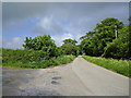
Lane and track to the left heading to Thornbury
Image: © Rob Purvis
Taken: 27 May 2018
0.20 miles
9
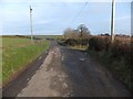
Fork off the road giving access to Thornbury
The farm access road for Thornbury forks to the left from the road to Hittisleigh. On the right, just beyond the telephone pole, is well-used access to a field
Image: © David Smith
Taken: 16 Jan 2013
0.21 miles
10
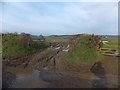
Muddy gateway at Chapple
The field entrance has suffered from the heavy rain of late 2012
Image: © David Smith
Taken: 16 Jan 2013
0.24 miles