IMAGES TAKEN NEAR TO
Whimple, EXETER, EX5 2PD
Introduction
This page details the photographs taken nearby to EX5 2PD by members of the Geograph project.
The Geograph project started in 2005 with the aim of publishing, organising and preserving representative images for every square kilometre of Great Britain, Ireland and the Isle of Man.

There are currently over 7.5m images from over14,400 individuals and you can help contribute to the project by visiting https://www.geograph.org.uk
Image Map
Images are licensed for reuse under creativecommons.org/licenses/by-sa/2.0
Notes
- Clicking on the map will re-center to the selected point.
- The higher the marker number, the further away the image location is from the centre of the postcode.
Image Listing (10 Images Found)
Images are licensed for reuse under creativecommons.org/licenses/by-sa/2.0
Image
Details
Distance
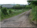
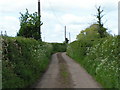
2
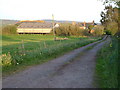
Churchill Farm
Seen from Cockeram's Lane.
Image: © Derek Harper
Taken: 26 Apr 2006
0.05 miles
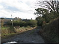


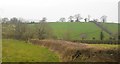
10

Entrance to a Farm
The road entrance to Trow Farm on the minor road between Broad Clyst and Whimple in East Devon.
Image: © John P Reeves
Taken: 19 Aug 2022
0.25 miles