IMAGES TAKEN NEAR TO
Croft Chase, EXETER, EX4 1TB
Introduction
This page details the photographs taken nearby to Croft Chase, EX4 1TB by members of the Geograph project.
The Geograph project started in 2005 with the aim of publishing, organising and preserving representative images for every square kilometre of Great Britain, Ireland and the Isle of Man.

There are currently over 7.5m images from over14,400 individuals and you can help contribute to the project by visiting https://www.geograph.org.uk
Image Map
Images are licensed for reuse under creativecommons.org/licenses/by-sa/2.0
Notes
- Clicking on the map will re-center to the selected point.
- The higher the marker number, the further away the image location is from the centre of the postcode.
Image Listing (18 Images Found)
Images are licensed for reuse under creativecommons.org/licenses/by-sa/2.0
Image
Details
Distance
1
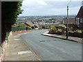
Croft Chase, Exeter
This road off Barley Lane has a panoramic view over the city of Exeter.
Image: © David Smith
Taken: 16 May 2009
0.03 miles
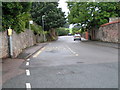
4

Barley Lane, Exeter
It's all rural to the left and the edge of Exeter is on the right. I was going to walk to the left to get round to Exwick but decided it was too narrow for pedestrians and vehicles.
Image: © Chris Allen
Taken: 27 Dec 2011
0.12 miles
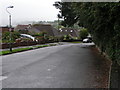
6
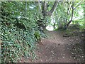
Bowhay Lane, Redhills, Exeter
An old track, now a footpath
Image: © David Smith
Taken: 7 Aug 2016
0.17 miles
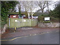
8
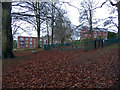
Sylvan Heights play area, Exeter
By the development at Eton Walk off Barley Lane.
Image: © Chris Allen
Taken: 25 Dec 2017
0.19 miles
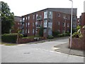
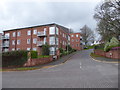
10
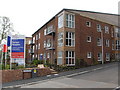
New development Exeter
Sylvan Heights on Barley lane. Eton walk is the new road servicing this development.
Image: © Chris Allen
Taken: 9 May 2010
0.20 miles