
IMAGES TAKEN NEAR TO
Victoria Terrace, BIDEFORD, EX39 2DP
Introduction
This page details the photographs taken nearby to Victoria Terrace, EX39 2DP by members of the Geograph project.
The Geograph project started in 2005 with the aim of publishing, organising and preserving representative images for every square kilometre of Great Britain, Ireland and the Isle of Man.

There are currently over 7.5m images from over14,400 individuals and you can help contribute to the project by visiting https://www.geograph.org.uk
Image Map
Images are licensed for reuse under creativecommons.org/licenses/by-sa/2.0
Notes
- Clicking on the map will re-center to the selected point.
- The higher the marker number, the further away the image location is from the centre of the postcode.
Image Listing (659 Images Found)
Images are licensed for reuse under creativecommons.org/licenses/by-sa/2.0
Image
Details
Distance
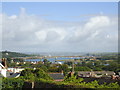
3
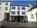
Victoria Terrace - off Honestone Street
Image: © Betty Longbottom
Taken: 9 May 2017
0.01 miles
6

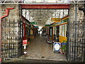
Bideford Pannier Market
The Pannier Market complex has been in operation since it was built by John Chudleigh of Exeter in 1883/84. A charter to hold a market was first granted on 25th May 1272 by Henry III, and has been renewed by succeeding Monarchs. The building was listed (Grade 2) in April 1989. It is called a Pannier Market after the Wicker baskets or panniers in which farmers wives carried their wares to market. There are still panniers in use today which can be seen in the Market hall any Tuesday or Saturday.
Image: © Jonathan Billinger
Taken: 7 Oct 2008
0.02 miles
7
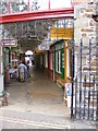
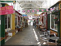
Pannier Market
The view down Butchers Row in Bideford's Market.
Image: © Gordon Griffiths
Taken: 13 Sep 2014
0.02 miles
8
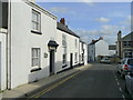
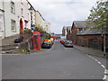
Honestone Street, Bideford
Looking east towards the town centre.
Image: © Jonathan Billinger
Taken: 9 Oct 2008
0.02 miles
9
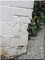
Ordnance Survey Cut Mark
This OS cut mark can be found on No13 Honestone Street. It marks a point 39.359m above mean sea level.
Image: © Adrian Dust
Taken: 13 Jul 2015
0.02 miles
10
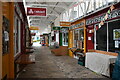
Butcher's Row, Bideford Pannier Market
Image: © David Martin
Taken: 24 Apr 2023
0.03 miles