
IMAGES TAKEN NEAR TO
Bishops Nympton, SOUTH MOLTON, EX36 4PQ
Introduction
This page details the photographs taken nearby to EX36 4PQ by members of the Geograph project.
The Geograph project started in 2005 with the aim of publishing, organising and preserving representative images for every square kilometre of Great Britain, Ireland and the Isle of Man.

There are currently over 7.5m images from over14,400 individuals and you can help contribute to the project by visiting https://www.geograph.org.uk
Image Map
Images are licensed for reuse under creativecommons.org/licenses/by-sa/2.0
Notes
- Clicking on the map will re-center to the selected point.
- The higher the marker number, the further away the image location is from the centre of the postcode.
Image Listing (67 Images Found)
Images are licensed for reuse under creativecommons.org/licenses/by-sa/2.0
Image
Details
Distance
1
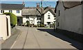
Island House, Bishop's Nympton
The listed building is described at https://www.historicengland.org.uk/listing/the-list/list-entry/1325501 . This view is from West Street. On the right is a wall of The Retreat https://www.historicengland.org.uk/listing/the-list/list-entry/1107267 .
Image: © Derek Harper
Taken: 15 Aug 2016
0.01 miles
2
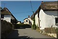
Houses at Bishop's Nympton
On the left is The Retreat https://www.historicengland.org.uk/listing/the-list/list-entry/1107267 ; on the right is the C17 or earlier Island House, "in a crucial position in the village" https://www.historicengland.org.uk/listing/the-list/list-entry/1325501 .
Image: © Derek Harper
Taken: 15 Aug 2016
0.01 miles

6
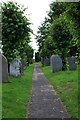
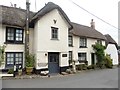
Bishops Nympton - Churchyard Path
This path leads westward through the churchyard towards St Mary's church.
Image: © William Cooke
Taken: 9 Jul 2009
0.03 miles
7
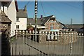
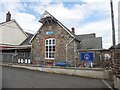
School, Bishop's Nympton
From the churchyard, looking across the village street. The gate pier on the left, with its "2 tier pyramidal freestone capping", and the cast iron railings with spear finials, are part of the listing at https://www.historicengland.org.uk/listing/the-list/list-entry/1309413 .
Image: © Derek Harper
Taken: 15 Aug 2016
0.04 miles
8
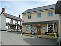
Pub and post office, Bishop's Nympton
The pub is named The Snare and Gin Trap and the post office is in the 'community shop'.
Image: © Humphrey Bolton
Taken: 11 Apr 2010
0.04 miles
9
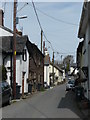
The village street, Bishop's Nympton
The upper part of the street is narrow, and rather disfigured by all the overhead wiring and poles.
Image: © Humphrey Bolton
Taken: 11 Apr 2010
0.04 miles
10

Churchyard, Bishop's Nympton
The northeast corner of the churchyard, with Victoria House, probably the remodelling of a church house https://www.historicengland.org.uk/listing/the-list/list-entry/1162883 .
Image: © Derek Harper
Taken: 15 Aug 2016
0.04 miles