
IMAGES TAKEN NEAR TO
Bridge Ball, LYNTON, EX35 6LH
Introduction
This page details the photographs taken nearby to EX35 6LH by members of the Geograph project.
The Geograph project started in 2005 with the aim of publishing, organising and preserving representative images for every square kilometre of Great Britain, Ireland and the Isle of Man.

There are currently over 7.5m images from over14,400 individuals and you can help contribute to the project by visiting https://www.geograph.org.uk
Image Map
Images are licensed for reuse under creativecommons.org/licenses/by-sa/2.0
Notes
- Clicking on the map will re-center to the selected point.
- The higher the marker number, the further away the image location is from the centre of the postcode.
Image Listing (8 Images Found)
Images are licensed for reuse under creativecommons.org/licenses/by-sa/2.0
Image
Details
Distance
2
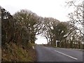
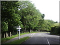
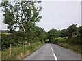
Crossroads on B3223 at edge of Southclose Wood
This junction does not appear to have a name, perhaps because it is a 20th century creation. Early 20th century maps show no road from Hillsford Bridge through the woodland; instead one followed the valley and then climbed past this post to High Gate Image The present route of the B3223 appears on the 1938 map
Image: © David Smith
Taken: 18 Feb 2018
0.12 miles
8
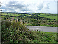
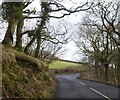
View west from car park on Scobhill Road
Image: © Chris Gunns
Taken: 18 Sep 2010
0.22 miles