
IMAGES TAKEN NEAR TO
Varve Close, BARNSTAPLE, EX31 3WQ
Introduction
This page details the photographs taken nearby to Varve Close, EX31 3WQ by members of the Geograph project.
The Geograph project started in 2005 with the aim of publishing, organising and preserving representative images for every square kilometre of Great Britain, Ireland and the Isle of Man.

There are currently over 7.5m images from over14,400 individuals and you can help contribute to the project by visiting https://www.geograph.org.uk
Image Map
Images are licensed for reuse under creativecommons.org/licenses/by-sa/2.0
Notes
- Clicking on the map will re-center to the selected point.
- The higher the marker number, the further away the image location is from the centre of the postcode.
Image Listing (29 Images Found)
Images are licensed for reuse under creativecommons.org/licenses/by-sa/2.0
Image
Details
Distance
1
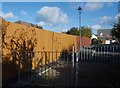
Fence by Hele Lane
Shadows on a two-tone fence beside the end of Hele Lane, a cul-de-sac on the new estate in Bickington, and the footpath along Tews Lane.
Image: © Derek Harper
Taken: 30 Oct 2007
0.06 miles
2
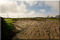
A field beside Tews Lane upon which houses are to be built
Image: © Roger A Smith
Taken: 9 Mar 2017
0.08 miles
3
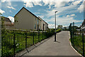
New Houses opposite a new academy near Claypits Road
See also: Image
Image: © Roger A Smith
Taken: 22 May 2021
0.08 miles
4
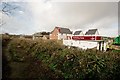
Another housing development in North Devon
Image: © Roger A Smith
Taken: 9 Mar 2017
0.11 miles
5
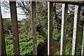
The view downstream from a footbridge near Ley Meadow Drive
This bridge is one of several similar on this estate.
Image: © Roger A Smith
Taken: 4 Apr 2011
0.12 miles
6
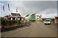
Another housing development in North Devon
Image: © Roger A Smith
Taken: 9 Mar 2017
0.12 miles
7
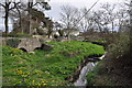
Bridges on Tews Lane, Bickington
This image shows the original bridge to the left and the railings of the newer bridge in the centre. The course of the stream now flows under the newer bridge.
Image: © Roger A Smith
Taken: 4 Apr 2011
0.12 miles
8
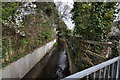
The view upstream from a bridge on Tews Lane, Bickington
Other images of this bridge suggest that the original course of the stream has been altered slightly. This is most likely due to an increase in drainage created by the construction of Roundswell Village in recent years.
Image: © Roger A Smith
Taken: 4 Apr 2011
0.13 miles
9
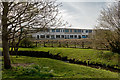
A new school as part of the Tews Lane housing development
The planning application for this was approved by the application committee 7 years ago on May 15th 2013.
Image: © Roger A Smith
Taken: 7 Apr 2020
0.13 miles
10
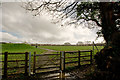
Queen Elizabeth II Playing Fields Tews Lane
Image: © Roger A Smith
Taken: 9 Mar 2017
0.13 miles