IMAGES TAKEN NEAR TO
Black Dog, CREDITON, EX17 4QT
Introduction
This page details the photographs taken nearby to EX17 4QT by members of the Geograph project.
The Geograph project started in 2005 with the aim of publishing, organising and preserving representative images for every square kilometre of Great Britain, Ireland and the Isle of Man.

There are currently over 7.5m images from over14,400 individuals and you can help contribute to the project by visiting https://www.geograph.org.uk
Image Map
Images are licensed for reuse under creativecommons.org/licenses/by-sa/2.0
Notes
- Clicking on the map will re-center to the selected point.
- The higher the marker number, the further away the image location is from the centre of the postcode.
Image Listing (23 Images Found)
Images are licensed for reuse under creativecommons.org/licenses/by-sa/2.0
Image
Details
Distance
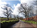
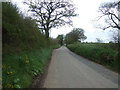
2
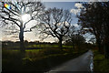
Mid Devon : Country Lane
Looking along the road.
Image: © Lewis Clarke
Taken: 28 Nov 2017
0.07 miles
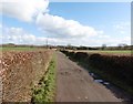
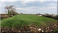
3
Mid Devon : Grassy Field
A grassy field in the Mid Devon countryside.
Image: © Lewis Clarke
Taken: 28 Nov 2017
0.07 miles
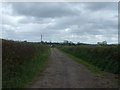
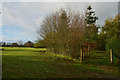
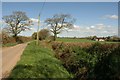
4
Little Densham
A recently rolled grass field.
Image: © Richard Webb
Taken: 2 Apr 2012
0.08 miles
5
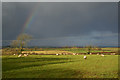
Mid Devon : Grassy Field
Sheep in a grassy Mid Devon field.
Image: © Lewis Clarke
Taken: 28 Nov 2017
0.10 miles
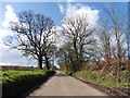
7
Road east of Black Dog
The road to Littleborough from Black Dog briefly crosses the northwest corner of the square. Oaks are on either side. On the right is Marleigh.
Image: © Derek Harper
Taken: 12 Apr 2011
0.11 miles