
IMAGES TAKEN NEAR TO
Hemyock, CULLOMPTON, EX15 3SX
Introduction
This page details the photographs taken nearby to EX15 3SX by members of the Geograph project.
The Geograph project started in 2005 with the aim of publishing, organising and preserving representative images for every square kilometre of Great Britain, Ireland and the Isle of Man.

There are currently over 7.5m images from over14,400 individuals and you can help contribute to the project by visiting https://www.geograph.org.uk
Image Map
Images are licensed for reuse under creativecommons.org/licenses/by-sa/2.0
Notes
- Clicking on the map will re-center to the selected point.
- The higher the marker number, the further away the image location is from the centre of the postcode.
Image Listing (21 Images Found)
Images are licensed for reuse under creativecommons.org/licenses/by-sa/2.0
Image
Details
Distance
1
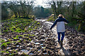
Mid Devon : Muddy Field
Struggling through the mud at Higher Ashculm.
Image: © Lewis Clarke
Taken: 22 Feb 2019
0.04 miles
2
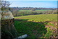
Mid Devon : Grassy Field
A grassy field at Higher Ashculm.
Image: © Lewis Clarke
Taken: 22 Feb 2019
0.04 miles
3
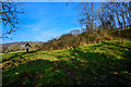
Mid Devon : Grassy Field
A grassy field in the countryside.
Image: © Lewis Clarke
Taken: 22 Feb 2019
0.05 miles
4
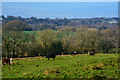
Mid Devon : Grassy Field
A grassy field in the countryside.
Image: © Lewis Clarke
Taken: 22 Feb 2019
0.05 miles
5
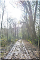
Mid Devon : Track
A track around Higher Ashculm.
Image: © Lewis Clarke
Taken: 22 Feb 2019
0.06 miles
6
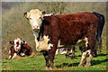
Mid Devon : Cattle Grazing
Cows in a field near Higher Ashculm.
Image: © Lewis Clarke
Taken: 22 Feb 2019
0.06 miles
7
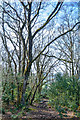
Mid Devon : Path
A muddy path through the trees.
Image: © Lewis Clarke
Taken: 22 Feb 2019
0.09 miles
8
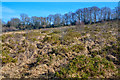
Mid Devon : Clayhidon Turbary
Clayhidon Turbary was once used by local people who grazed their cattle there and who also cut peat from the site to use as fuel to heat their homes. This ancient right is at the root of the name 'Turbary'.
In recent years these uses declined and the heathland had begun to lose its special character. However, in 2011 Devon Wildlife Trust stepped in to take on the management of Clayhidon Turbury and made it a nature reserve.
https://www.devonwildlifetrust.org/nature-reserves/clayhidon-turbary
Image: © Lewis Clarke
Taken: 22 Feb 2019
0.09 miles
9
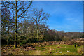
Mid Devon : Clayhidon Turbary
Clayhidon Turbary was once used by local people who grazed their cattle there and who also cut peat from the site to use as fuel to heat their homes. This ancient right is at the root of the name 'Turbary'.
In recent years these uses declined and the heathland had begun to lose its special character. However, in 2011 Devon Wildlife Trust stepped in to take on the management of Clayhidon Turbury and made it a nature reserve.
https://www.devonwildlifetrust.org/nature-reserves/clayhidon-turbary
Image: © Lewis Clarke
Taken: 22 Feb 2019
0.10 miles
10
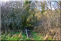
Mid Devon : Muddy Path
The path leaves the field and heads into the trees.
Image: © Lewis Clarke
Taken: 22 Feb 2019
0.12 miles