IMAGES TAKEN NEAR TO
Combpyne, AXMINSTER, EX13 8TE
Introduction
This page details the photographs taken nearby to EX13 8TE by members of the Geograph project.
The Geograph project started in 2005 with the aim of publishing, organising and preserving representative images for every square kilometre of Great Britain, Ireland and the Isle of Man.

There are currently over 7.5m images from over14,400 individuals and you can help contribute to the project by visiting https://www.geograph.org.uk
Image Map
Images are licensed for reuse under creativecommons.org/licenses/by-sa/2.0
Notes
- Clicking on the map will re-center to the selected point.
- The higher the marker number, the further away the image location is from the centre of the postcode.
Image Listing (11 Images Found)
Images are licensed for reuse under creativecommons.org/licenses/by-sa/2.0
Image
Details
Distance
1
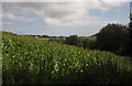
Maize, Bulmoor
From the East Devon Way just above Bulmoor. The house along the ridge is Bulmoor Copse.
Image: © Derek Harper
Taken: 15 Sep 2012
0.07 miles
2
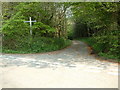
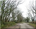
Bulmoor Cross, Devon
Bulmoor Cross is 2 miles east of Musbury.
Image: © Stuart Buchan
Taken: 10 May 2006
0.09 miles
3
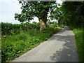
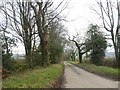
Lane bordering Great Trill Plantation
Image: © Maurice D Budden
Taken: 4 Jul 2013
0.10 miles
6
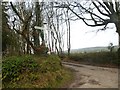
Signpost at Bulmoor Cross
Bulmoor is a farm to the south of this crossroads
Image: © David Smith
Taken: 30 Dec 2019
0.15 miles
8
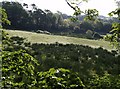
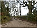
Field at Bulmoor
A view from the East Devon Way below Bulmoor Cross, where it follows the no through lane to Woodlands Farm.
Image: © Derek Harper
Taken: 22 May 2007
0.17 miles
9
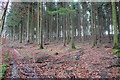
Beeds Hill Plantation
Some forestry work had recently been going on in these woods and there are a large number of stumps from felled trees.
Image: © Nigel Mykura
Taken: 2 Jan 2018
0.19 miles