
IMAGES TAKEN NEAR TO
Bennetts Hill, SIDMOUTH, EX10 9XQ
Introduction
This page details the photographs taken nearby to Bennetts Hill, EX10 9XQ by members of the Geograph project.
The Geograph project started in 2005 with the aim of publishing, organising and preserving representative images for every square kilometre of Great Britain, Ireland and the Isle of Man.

There are currently over 7.5m images from over14,400 individuals and you can help contribute to the project by visiting https://www.geograph.org.uk
Image Map
Images are licensed for reuse under creativecommons.org/licenses/by-sa/2.0
Notes
- Clicking on the map will re-center to the selected point.
- The higher the marker number, the further away the image location is from the centre of the postcode.
Image Listing (39 Images Found)
Images are licensed for reuse under creativecommons.org/licenses/by-sa/2.0
Image
Details
Distance
1
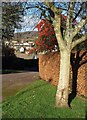
Colour on Bennetts Hill, Sidmouth
Red berries overhang a beech hedge. The map indicates that Sidmouth Footpath 16 ends here; its presence probably explains the wide verge which also finishes at this corner.
Image: © Derek Harper
Taken: 11 Jan 2012
0.02 miles
2
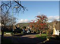
Bennetts Hill, Sidmouth
A fine show of berries on the grass verge where Woolbrook Park gives way to Bennetts Hill.
Image: © Derek Harper
Taken: 11 Jan 2012
0.02 miles
3
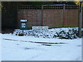
A cold place
Ice House Lane, Woolbrook on this occasion lives up to its name.
The original ice house has long since gone.
Image: © Anthony Vosper
Taken: 7 Jan 2010
0.05 miles
4

Woolbrook Park footpath
Local footpath No16 running behind post war bungalows.Few winter frosts require the use of the grit bin.
Image: © Anthony Vosper
Taken: 3 Sep 2009
0.06 miles
5
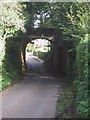
Bridge on old railway line crosses road
Image: © Sarah Charlesworth
Taken: 10 Oct 2008
0.08 miles
6
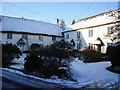
Cottages in the snow
An ideal Christmas card scene at The Square, Icehouse lane, Woolbrook.
Image: © Anthony Vosper
Taken: 7 Jan 2010
0.08 miles
7
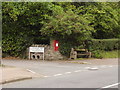
Ice House lane Post Box.
Situated next to the Woolbrook, just behind the wall and hedge. The two pipes are set so as to enable surplus water from the road to drain into the brook.
Image: © Anthony Vosper
Taken: 31 Aug 2009
0.09 miles
8
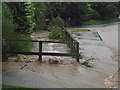
Sidmouth floods (4)
7.30 in the morning and the Woolbrook which is normally 2ft lower is actually going down; it peaked about 5am. A companion to the brick seen in the image was found in the middle of the road.
Image: © Anthony Vosper
Taken: 7 Jul 2012
0.09 miles
9
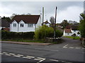
Junction of Woolbrook Road and Ice House Lane
A grade II Listed Building, an old thatched barn originally stood on the site of the white house.
Image: © Anthony Vosper
Taken: 17 Apr 2012
0.09 miles
10
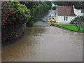
Sidmouth floods (5)
Ice House Lane 7.30 in the morning. For weather watchers this spot is a frost hollow, but not today.
There is a picture of this location in the snow on this page.
Image: © Anthony Vosper
Taken: 7 Jul 2012
0.09 miles