
IMAGES TAKEN NEAR TO
Cottington Mead, SIDMOUTH, EX10 8HB
Introduction
This page details the photographs taken nearby to Cottington Mead, EX10 8HB by members of the Geograph project.
The Geograph project started in 2005 with the aim of publishing, organising and preserving representative images for every square kilometre of Great Britain, Ireland and the Isle of Man.

There are currently over 7.5m images from over14,400 individuals and you can help contribute to the project by visiting https://www.geograph.org.uk
Image Map
Images are licensed for reuse under creativecommons.org/licenses/by-sa/2.0
Notes
- Clicking on the map will re-center to the selected point.
- The higher the marker number, the further away the image location is from the centre of the postcode.
Image Listing (131 Images Found)
Images are licensed for reuse under creativecommons.org/licenses/by-sa/2.0
Image
Details
Distance
1
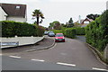
Cottington Mead, Sidmouth
Cul-de-sac viewed across Cotmaton Road.
The sign on the left shows that Cottington Mead leads to Cottington Court.
Image: © Jaggery
Taken: 18 May 2017
0.05 miles
2

Cheese Lane, Sidmouth
The southeast end of Cheese Lane viewed from Cotmaton Road.
Image: © Jaggery
Taken: 18 May 2017
0.05 miles
3
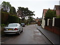
The road divides
Convent Road branches right whilst Cheese Lane carries straight on.
Image: © Anthony Vosper
Taken: 7 Jan 2011
0.05 miles
4
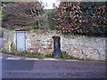
Sidmouth mill leat
Whilst the mill no longer exists. The leat does. Running alongside Cotmaton Road. Before it disappears under All Saints Road.
Image: © Anthony Vosper
Taken: 4 Feb 2014
0.05 miles
5
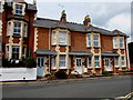
Colaton Terrace, Cotmaton Road, Sidmouth
Numbers 1-3 Colaton Terrace are between Glendevon http://www.geograph.org.uk/photo/5397265 on the left and Cheese Lane http://www.geograph.org.uk/photo/5396937 on the right.
Image: © Jaggery
Taken: 18 May 2017
0.06 miles
6
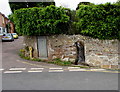
Brook through a Cotmaton Road wall, Sidmouth
A small channelled stream flows through a gap in the wall. Cheese Lane is on the left. http://www.geograph.org.uk/photo/5396937
Image: © Jaggery
Taken: 18 May 2017
0.06 miles
7
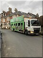
Early morning recycling
Cotmaton road Sidmouth.
Thank you Devon's recycling crews who have worked tirelessly throughout the pandemic.
Image: © Anthony Vosper
Taken: 9 Feb 2021
0.06 miles
8
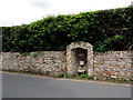
Grade II listed former drinking fountain, Cotmaton Road, Sidmouth
Erected in 1850. Grade II listed in 1973. In 2017 the stonework is very weathered.
Image: © Jaggery
Taken: 18 May 2017
0.06 miles
9

Channelled stream below Cotmaton Road, Sidmouth
After passing through this gap http://www.geograph.org.uk/photo/5406281 in the wall, the stream
flows along a channel below the north side of Cotmaton Road.
Image: © Jaggery
Taken: 18 May 2017
0.06 miles
10
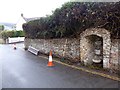
Disused drinking fountain, Cotmaton Road, Sidmouth
Image: © David Smith
Taken: 4 Nov 2015
0.06 miles