
IMAGES TAKEN NEAR TO
Chapel Street, SIDMOUTH, EX10 0RQ
Introduction
This page details the photographs taken nearby to Chapel Street, EX10 0RQ by members of the Geograph project.
The Geograph project started in 2005 with the aim of publishing, organising and preserving representative images for every square kilometre of Great Britain, Ireland and the Isle of Man.

There are currently over 7.5m images from over14,400 individuals and you can help contribute to the project by visiting https://www.geograph.org.uk
Image Map
Images are licensed for reuse under creativecommons.org/licenses/by-sa/2.0
Notes
- Clicking on the map will re-center to the selected point.
- The higher the marker number, the further away the image location is from the centre of the postcode.
Image Listing (174 Images Found)
Images are licensed for reuse under creativecommons.org/licenses/by-sa/2.0
Image
Details
Distance
1
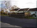
The village pound
Now a bus shelter this stonework structure was once the pound for any stray animals.
The aptly named Pound Close stands behind.
Image: © Anthony Vosper
Taken: 9 Feb 2010
0.03 miles

3
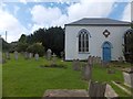
Former chapel and graveyard
This independent chapel is closed.
Image: © David Smith
Taken: 21 Aug 2012
0.04 miles
4

Closed down
This former Independent Evangelical chapel now has planning permission to be converted into a private home.
Image: © Anthony Vosper
Taken: 9 Feb 2010
0.04 miles
6

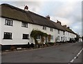
Lest we forget
Sidbury war memorial at Greenhead on the edge of the village.
To the left of the cross is a small culvert taking a stream under the road.
Image: © Anthony Vosper
Taken: 9 Feb 2010
0.05 miles
7
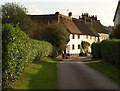
Cottages at Sidbury
A reverse view of Image, looking from where the East Devon Way crosses the Manor Drive, towards Chapel Street. The cottages are listed http://www.britishlistedbuildings.co.uk/en-87227-75-sidmouth .
Image: © Derek Harper
Taken: 21 Oct 2011
0.06 miles
8
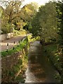
River Sid
Looking downstream from Stoney Bridge, with Deepway on the left.
Image: © Derek Harper
Taken: 21 Oct 2011
0.06 miles
9
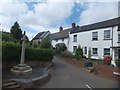
Sidbury war memorial at Greenhead
On the right, under the porch, is the sign for a guest house being listed by the tourist board.
Image: © David Smith
Taken: 21 Aug 2012
0.06 miles
10
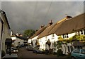
Bridge Street, Sidbury
A pretty street leading up from Stoney Bridge. The thatched cottages on the right form a listed group http://www.britishlistedbuildings.co.uk/en-87209-outhouse-at-east-and-of-nos-1-to-9-sidmou .
Image: © Derek Harper
Taken: 21 Oct 2011
0.07 miles