IMAGES TAKEN NEAR TO
Nazeing Road, WALTHAM ABBEY, EN9 2JD
Introduction
This page details the photographs taken nearby to Nazeing Road, EN9 2JD by members of the Geograph project.
The Geograph project started in 2005 with the aim of publishing, organising and preserving representative images for every square kilometre of Great Britain, Ireland and the Isle of Man.

There are currently over 7.5m images from over14,400 individuals and you can help contribute to the project by visiting https://www.geograph.org.uk
Image Map
Images are licensed for reuse under creativecommons.org/licenses/by-sa/2.0
Notes
- Clicking on the map will re-center to the selected point.
- The higher the marker number, the further away the image location is from the centre of the postcode.
Image Listing (12 Images Found)
Images are licensed for reuse under creativecommons.org/licenses/by-sa/2.0
Image
Details
Distance
1
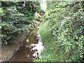
Drainage ditch alongside Nazeing Road
A ditch that presumably flows into the nearby Lea Flood Relief Channel Image
Image: © Stephen Craven
Taken: 15 Aug 2009
0.06 miles
3
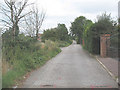
Nursery Road, Nazeing
The road has "Private" signs but is shown on maps as part of the off-road alternative National Cycle Route 1. The name presumably refers to the local market garden industry and not to an education centre.
Image: © Stephen Craven
Taken: 15 Aug 2009
0.07 miles
4
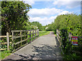
National Cycle Route 1
Running up the Lea Valley, here a dedicated path parallel to Nursery Road off to the left.
Image: © Robin Webster
Taken: 15 May 2016
0.07 miles
5
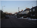
Nazeing Road
This is entering a large area devoted to market gardening for the next few miles
Image: © David Howard
Taken: 7 Feb 2012
0.10 miles
7
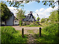
Derelict nursery buildings, Nursery Road, Lower Nazeing
Viewed from the dedicated path for National Cycle Route 1 through a cross connection with Nursery Road.
Image: © Robin Webster
Taken: 15 May 2016
0.19 miles
8
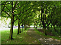
A shady walk, Lower Nazeing
By the car park in the Clayton Hill part of the Lee Valley Park.
Image: © Robin Webster
Taken: 15 May 2016
0.20 miles
9
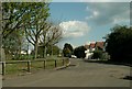
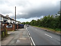
Part of Nazeing Road, just east of Broxbourne
Image: © Robert Edwards
Taken: 23 Apr 2008
0.22 miles