
IMAGES TAKEN NEAR TO
Northbank Cottages, BATHGATE, EH48 4BX
Introduction
This page details the photographs taken nearby to Northbank Cottages, EH48 4BX by members of the Geograph project.
The Geograph project started in 2005 with the aim of publishing, organising and preserving representative images for every square kilometre of Great Britain, Ireland and the Isle of Man.

There are currently over 7.5m images from over14,400 individuals and you can help contribute to the project by visiting https://www.geograph.org.uk
Image Map
Images are licensed for reuse under creativecommons.org/licenses/by-sa/2.0
Notes
- Clicking on the map will re-center to the selected point.
- The higher the marker number, the further away the image location is from the centre of the postcode.
Image Listing (16 Images Found)
Images are licensed for reuse under creativecommons.org/licenses/by-sa/2.0
Image
Details
Distance
1

Drumcross Road, Bathgate
Drumcross Road descends steeply into the town where The Green leads off to the right.
Image: © Stephen McKay
Taken: 7 Jun 2013
0.03 miles
2
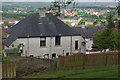
Houses on Glenmavis Drive, Bathgate
Looking at the backs of houses on Glenmavis Drive from Drumcross Road with a spectacular view beyond.
Image: © Stephen McKay
Taken: 7 Jun 2013
0.04 miles
3

The Green, Bathgate
Attractive suburban street high above the town. Clearly a great deal of effort has been put into the gardening.
Image: © Stephen McKay
Taken: 7 Jun 2013
0.05 miles
4
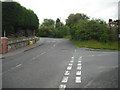
Drumcross Road
Steep hill leading out of Bathgate
Image: © Jim Smillie
Taken: 29 Jul 2010
0.08 miles
5
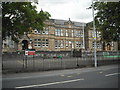
Balbardie Primary School
Originally Bathgate School 1904 as indicated on building.
Image: © Jim Smillie
Taken: 29 Jul 2010
0.13 miles
6
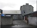
Bathgate WW1 Drill Hall
This was a WW1 drill hall, the base of the 10th (Cyclist) Battalion, Royal Scots (C Company) http://www.geograph.org.uk/article/WW1-Great-War-Centenary---Drill-Halls/. It is still in use as a military building, for the Machine Gun Platoon, 6th Battalion, Royal Regiment of Scotland, and as an Army Reserve Centre and ATC Squadron. This is a view from Athol Place showing the actual hall behind the main building.
Image: © M J Richardson
Taken: 23 Aug 2014
0.14 miles
7
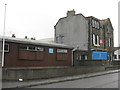
WW1 Drill Hall, Torphichen Street
This was a WW1 drill hall, the base of the 10th (Cyclist) Battalion, Royal Scots (C Company) http://www.geograph.org.uk/article/WW1-Great-War-Centenary---Drill-Halls/. It is still in use as a military building, for the Machine Gun Platoon, 6th Battalion, Royal Regiment of Scotland, and as an Army Reserve Centre and ATC Squadron.
Image: © M J Richardson
Taken: 23 Aug 2014
0.15 miles
8
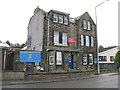
Army Reserve Centre, Bathgate
This was a WW1 drill hall, the base of the 10th (Cyclist) Battalion, Royal Scots (C Company) http://www.geograph.org.uk/article/WW1-Great-War-Centenary---Drill-Halls/. It is still in use as a military building, for the Machine Gun Platoon, 6th Battalion, Royal Regiment of Scotland, and as an Army Reserve Centre and ATC Squadron.
Image: © M J Richardson
Taken: 23 Aug 2014
0.15 miles
9
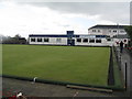
Glenmavis Bowling Club
On Torphichen Street, Bathgate.
Image: © M J Richardson
Taken: 23 Aug 2014
0.18 miles
10
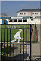
Glenmavis Bowling Club
An attractive gate design marks the entrance to this sports facility.
Image: © Stephen McKay
Taken: 7 Jun 2013
0.18 miles