IMAGES TAKEN NEAR TO
Campview Road, BONNYRIGG, EH19 3EZ
Introduction
This page details the photographs taken nearby to Campview Road, EH19 3EZ by members of the Geograph project.
The Geograph project started in 2005 with the aim of publishing, organising and preserving representative images for every square kilometre of Great Britain, Ireland and the Isle of Man.

There are currently over 7.5m images from over14,400 individuals and you can help contribute to the project by visiting https://www.geograph.org.uk
Image Map
Images are licensed for reuse under creativecommons.org/licenses/by-sa/2.0
Notes
- Clicking on the map will re-center to the selected point.
- The higher the marker number, the further away the image location is from the centre of the postcode.
Image Listing (39 Images Found)
Images are licensed for reuse under creativecommons.org/licenses/by-sa/2.0
Image
Details
Distance

2

The Chase
Public House on Polton Street, Bonnyrigg
Image: © Richard Webb
Taken: 25 Sep 2011
0.05 miles
3
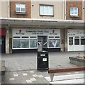
Closed charity shop, Bonnyrigg
Unsure if it is a permanent closure or not. The V is a reference to the elevation of the anniversary of VE day to bank holiday, replacing the May Day holiday which is not to the taste of the current extremist government in Westminster. At least it's only costing me one day's wages - many people are in an uncertain and worrying place with much of the economy frozen due to the Covid-19 pandemic and a self inflicted wound to follow.
Image: © Richard Webb
Taken: 9 May 2020
0.06 miles
6

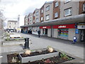
Former supermarket, Bonnyrigg
Until recently, a Spar franchise.
Image: © Richard Webb
Taken: 9 May 2020
0.07 miles
8

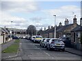
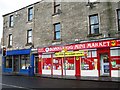
Polton Street, Bonnyrigg
Shops near the central road junction in Bonnyrigg where Polton Street and Dundas Street cross. The blue sign indicates the route to the Penicuik to Dalkeith cyclepath on the former railway line.
Image: © Jim Barton
Taken: 5 Feb 2015
0.08 miles
9
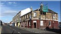
Calderwood
Bar on Dundas Street, Bonnyrigg.
Image: © Richard Webb
Taken: 25 Sep 2011
0.08 miles