
IMAGES TAKEN NEAR TO
Baberton Mains Drive, EDINBURGH, EH14 3BP
Introduction
This page details the photographs taken nearby to Baberton Mains Drive, EH14 3BP by members of the Geograph project.
The Geograph project started in 2005 with the aim of publishing, organising and preserving representative images for every square kilometre of Great Britain, Ireland and the Isle of Man.

There are currently over 7.5m images from over14,400 individuals and you can help contribute to the project by visiting https://www.geograph.org.uk
Image Map
Images are licensed for reuse under creativecommons.org/licenses/by-sa/2.0
Notes
- Clicking on the map will re-center to the selected point.
- The higher the marker number, the further away the image location is from the centre of the postcode.
Image Listing (11 Images Found)
Images are licensed for reuse under creativecommons.org/licenses/by-sa/2.0
Image
Details
Distance
2

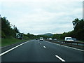
A720 City of Edinburgh Bypass near to Juniper Green
Image: © David Dixon
Taken: 5 Mar 2020
0.08 miles
3
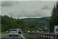
Juniper Green : City of Edinburgh Bypass A720
Looking along the City of Edinburgh Bypass A720.
Image: © Lewis Clarke
Taken: 23 Sep 2020
0.10 miles
5
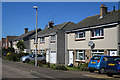
Baberton Mains Drive
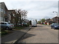
The housing development at Baberton Mains is undistinguished apart from the street naming system. It consists of a long circular drive, Baberton Mains Drive, with umpteen short culs-de-sac opening off it, and a couple of linking streets. Every single street in the entire estate is named 'Baberton Mains xxx', and there are no fewer than 20 variations of 'xxx': Avenue, Bank, Court, Crescent, Dell, Drive, Gardens, Green, Grove, Hill, Lea, Loan, Park, Place, Rise, Row, Terrace, View, Way, and Wood. (I wonder what was wrong with Road and Street?) Oh, and there are also Baberton Mains Farmhouse, and Baberton Mains Cottages, which are not in the estate and not close to one another. Most of the street names are positioned so that if you drive clockwise round the Drive, you don't see them. A real lesson in how to confuse visitors, unless the visitors are armed with a very detailed map of the estate, or they have a very carefully calibrated satellite navigation system.
Image: © Anne Burgess
Taken: 21 Apr 2016
0.11 miles
6
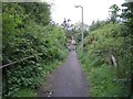
Path to Baberton
Handy footpath linking the Lanark Road with the Baberton housing estate.
Image: © Callum Black
Taken: 13 Sep 2008
0.16 miles
7
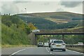
Juniper Green : City of Edinburgh Bypass A720
Looking along the City of Edinburgh Bypass A720.
Image: © Lewis Clarke
Taken: 23 Sep 2020
0.20 miles
8
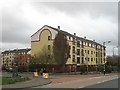
Flats off Clovenstone Road
Opposite the Wester Hailes Baptist Church.
Image: © Richard Webb
Taken: 17 Apr 2008
0.22 miles
9
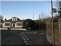
End of Woodhall Millbrae
The road on the right drops to the Water of Leith to the houses on the old mill site.
Image: © Richard Webb
Taken: 13 Nov 2022
0.23 miles
10
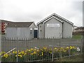
Wester Hailes Baptist Church
Off Clovenstone Road.
Image: © Richard Webb
Taken: 17 Apr 2008
0.23 miles