
IMAGES TAKEN NEAR TO
Craigmount Avenue, EDINBURGH, EH12 8DX
Introduction
This page details the photographs taken nearby to Craigmount Avenue, EH12 8DX by members of the Geograph project.
The Geograph project started in 2005 with the aim of publishing, organising and preserving representative images for every square kilometre of Great Britain, Ireland and the Isle of Man.

There are currently over 7.5m images from over14,400 individuals and you can help contribute to the project by visiting https://www.geograph.org.uk
Image Map
Images are licensed for reuse under creativecommons.org/licenses/by-sa/2.0
Notes
- Clicking on the map will re-center to the selected point.
- The higher the marker number, the further away the image location is from the centre of the postcode.
Image Listing (8 Images Found)
Images are licensed for reuse under creativecommons.org/licenses/by-sa/2.0
Image
Details
Distance
1
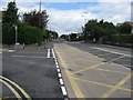
Drum Brae Road South
One of Edinburgh's main subsidiary roads, the B701, at its junction with Craigs Road
Image: © M J Richardson
Taken: 7 Jul 2008
0.03 miles
2
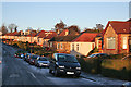
Craigmount Avenue
This part of Corstorphine probably dates from the mid 20th century, when bungalows like these were the popular suburban choice.
Image: © Anne Burgess
Taken: 5 Dec 2012
0.11 miles

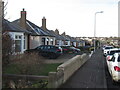
5
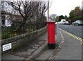
Postbox on Craigs Road
The postbox is on the corner of Craigs Road and Drum Brae South (B701).
Image: © michael ely
Taken: 22 Feb 2011
0.18 miles
6
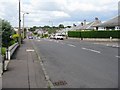
Craigs Road looking westwards
Part of the western Edinburgh bungalow belt.
Image: © M J Richardson
Taken: 7 Jul 2008
0.20 miles

8

Corstorphine Bank Drive
Climbing northwards from Corstorphine through a suburb which was once the fields of Corstorphine Bank Farm.
Image: © Richard Webb
Taken: 22 Oct 2024
0.23 miles