
IMAGES TAKEN NEAR TO
Broomhall Avenue, EDINBURGH, EH12 7NB
Introduction
This page details the photographs taken nearby to Broomhall Avenue, EH12 7NB by members of the Geograph project.
The Geograph project started in 2005 with the aim of publishing, organising and preserving representative images for every square kilometre of Great Britain, Ireland and the Isle of Man.

There are currently over 7.5m images from over14,400 individuals and you can help contribute to the project by visiting https://www.geograph.org.uk
Image Map
Images are licensed for reuse under creativecommons.org/licenses/by-sa/2.0
Notes
- Clicking on the map will re-center to the selected point.
- The higher the marker number, the further away the image location is from the centre of the postcode.
Image Listing (52 Images Found)
Images are licensed for reuse under creativecommons.org/licenses/by-sa/2.0
Image
Details
Distance
1

Carrick Knowe Parish Church
Church of Scotland.
Image: © Richard Webb
Taken: 4 Apr 2026
0.04 miles
2

Welcome to Union Park
Shown on the map as a recreation ground, Union Park was designated a Queen Elizabeth Field in Trust for the 2012 Jubilee. Sadly, it's used a lot for exercising dogs.
Image: © Mary and Angus Hogg
Taken: 1 Jun 2014
0.06 miles
3
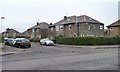
Houses on the north side of Broomfield Crescent
Looking west from the junction with Saughton Road North.
Image: © Christine Johnstone
Taken: 10 Feb 2015
0.08 miles
4
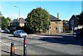
Saughton Road North
Viewed at the junction with Carrick Knowe Road in suburban Edinburgh. This residential area was developed by the City Council during the 1930s.
Image: © Mary and Angus Hogg
Taken: 22 Sep 2013
0.09 miles
5
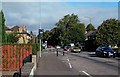
Saughton Road North
Viewed near the junction with Carrick Knowe Road in suburban Edinburgh. This road links the Broomhouse area with Corstorphine.
Image: © Mary and Angus Hogg
Taken: 22 Sep 2013
0.11 miles
6
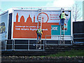
Changing the street scene
Bill Posters and friend at work on Saughton Road North just north of the railway bridge.
Image: © michael ely
Taken: 12 Apr 2011
0.13 miles
7
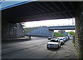
Two bridges over Saughton Road
Nearest camera is the railway bridge. The further one was for the guided busway.
Image: © michael ely
Taken: 12 Apr 2011
0.13 miles
9

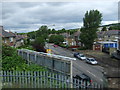
Ladiemeadow
Small street off Roull Road. There were buildings here, beside The Stank (a burn) before the suburbs came.
Image: © Richard Webb
Taken: 4 Apr 2026
0.14 miles
10
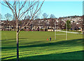
Christmas Day in Union Park
We expected the Christmas Day sunshine to bring out lots of children riding new bikes and scooters but found the park almost empty.
Image: © Mary and Angus Hogg
Taken: 25 Dec 2019
0.14 miles