
IMAGES TAKEN NEAR TO
Vestry Court, STOURBRIDGE, DY8 3SF
Introduction
This page details the photographs taken nearby to Vestry Court, DY8 3SF by members of the Geograph project.
The Geograph project started in 2005 with the aim of publishing, organising and preserving representative images for every square kilometre of Great Britain, Ireland and the Isle of Man.

There are currently over 7.5m images from over14,400 individuals and you can help contribute to the project by visiting https://www.geograph.org.uk
Image Map
Images are licensed for reuse under creativecommons.org/licenses/by-sa/2.0
Notes
- Clicking on the map will re-center to the selected point.
- The higher the marker number, the further away the image location is from the centre of the postcode.
Image Listing (128 Images Found)
Images are licensed for reuse under creativecommons.org/licenses/by-sa/2.0
Image
Details
Distance
1

St James Church, Wollaston
St James Church, Wollaston, taken from the entrance in Belfry Drive.
Image: © Noisar
Taken: 20 Feb 2019
0.06 miles
2
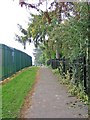
Footpath to Bridgnorth Road, Wollaston
This footpath runs from the playing field behind High Street to Bridgnorth Road Wollaston. On the left is the boundary fence of Wollaston Village Hall Community Centre.
Image: © P L Chadwick
Taken: 27 Sep 2008
0.06 miles
3
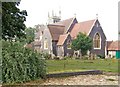
St James C of E Parish Church, Wollaston, rear view
The church was built in 1860 and very unusually what are known as "blue" bricks have been used in its construction. These undoubtedly make a major contribution to the handsome appearance of this building.
Image: © P L Chadwick
Taken: 27 Sep 2008
0.06 miles
4
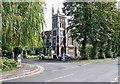
St James C of E Church, Bridgnorth Road, Wollaston
This attractive looking church, on the corner of Bridgnorth Road and Belfry Drive, serves Wollaston which is now part of the town of Stourbridge.
Image: © P L Chadwick
Taken: 25 Aug 2008
0.07 miles
5
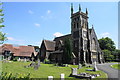
St James' Church, Wollaston
A Victorian church dating from 1861 built with blue brick and Bath stone.
Image: © Bill Boaden
Taken: 22 Jun 2018
0.07 miles
6
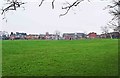
Open space and playing field behind High Street, Wollaston, Stourbridge
There are two football pitches here, which can be seen in the distance, and both were in use.
Image: © P L Chadwick
Taken: 6 Jan 2013
0.07 miles
7
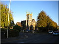
St James' Church, Wollaston
Seen from Bridgnorth Road as the early evening Sun illuminates its distinctive architecture.
Image: © Richard Vince
Taken: 20 Oct 2018
0.08 miles
8
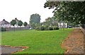
Open space, Bridgnorth Road, Wollaston
This pleasant open space is bounded by Bridgnorth Road and the side of St James's churchyard and extends up to the car park of the Wollaston Village Hall Community Centre. The path on the right carries on past the community centre and gives access to a very large grassed field with football pitches on part of it.
Image: © P L Chadwick
Taken: 27 Sep 2008
0.08 miles
9
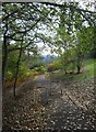
Footpath & cycleway to Bradley Road, Wollaston, Stourbridge
Although a cycleway, cyclists are supposed to dismount for the section ahead, but many don't bother. The path comes out in the industrial semi-dereliction of Bradley Road.
Image: © P L Chadwick
Taken: 16 Oct 2011
0.08 miles
10

Footpath & cycleway to High Street, Wollaston, Stourbridge
Part of a cycleway that eventually arrives at Kingswinford.
Image: © P L Chadwick
Taken: 16 Oct 2011
0.08 miles