
IMAGES TAKEN NEAR TO
Waterside View, BRIERLEY HILL, DY5 3YA
Introduction
This page details the photographs taken nearby to Waterside View, DY5 3YA by members of the Geograph project.
The Geograph project started in 2005 with the aim of publishing, organising and preserving representative images for every square kilometre of Great Britain, Ireland and the Isle of Man.

There are currently over 7.5m images from over14,400 individuals and you can help contribute to the project by visiting https://www.geograph.org.uk
Image Map
Images are licensed for reuse under creativecommons.org/licenses/by-sa/2.0
Notes
- Clicking on the map will re-center to the selected point.
- The higher the marker number, the further away the image location is from the centre of the postcode.
Image Listing (75 Images Found)
Images are licensed for reuse under creativecommons.org/licenses/by-sa/2.0
Image
Details
Distance
2
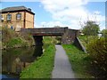
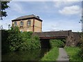
Bowens Bridge
Bridge over the Stourbridge Canal
Image: © Stephen Rogerson
Taken: 20 Apr 2010
0.06 miles
4
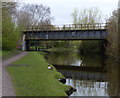
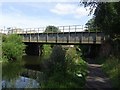
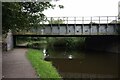
Silver End Railway Bridge
Crossing the Stourbridge Canal in Dudley.
Image: © Mat Fascione
Taken: 22 Apr 2016
0.07 miles
6
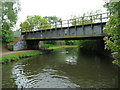
Railway bridge over the Stourbridge Canal
Carrying the Stourbridge - Brierley Hill line. The structure on the towpath [under the bridge] is designed to deter motorbikes.
Image: © Christine Johnstone
Taken: 8 May 2018
0.07 miles
7
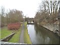
Bridge View
The view of the railway bridge along the Stourbridge canal from Bowen's Bridge in Brierley Hill, Dudley.
Image: © Gordon Griffiths
Taken: 21 Feb 2016
0.07 miles
9
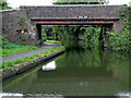
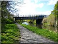
Bowen's Bridge near Brierley Hill, Dudley
Looking west as the Stourbridge Canal meanders round Brierley Hill. The Meeting Lane Industrial Estate is off to the right. Ahead is Bowen's Bridge, at the southern end of Station Road. The bridge is pedestrian only, allowing residents of the Withymoor Village housing area (off to the left) a direct access to the public transport on the A461 Brettell Lane.
The bridge originally carried a tramway linking the Amblecote Works (off to the left, demolished and built over) to the public rail system at Brettell Lane Station (closed in 1962).
Image: © Roger Kidd
Taken: 27 Aug 2010
0.08 miles
10
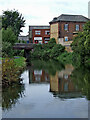
Stourbridge Canal at Bowen's Bridge near Brierley Hill, Dudley
Looking west-north-west as the Stourbridge Canal meanders round Brierley Hill. The Meeting Lane Industrial Estate is off to the right. Ahead is Bowen's bridge, at the southern end of Station Road. The bridge is pedestrian only, allowing residents of the Withymoor Village housing area (off to the left) a direct access to the public transport on the A461 Brettell Lane.
Image: © Roger Kidd
Taken: 27 Aug 2010
0.08 miles