
IMAGES TAKEN NEAR TO
Ivanhoe Street, DUDLEY, DY2 0YD
Introduction
This page details the photographs taken nearby to Ivanhoe Street, DY2 0YD by members of the Geograph project.
The Geograph project started in 2005 with the aim of publishing, organising and preserving representative images for every square kilometre of Great Britain, Ireland and the Isle of Man.

There are currently over 7.5m images from over14,400 individuals and you can help contribute to the project by visiting https://www.geograph.org.uk
Image Map
Images are licensed for reuse under creativecommons.org/licenses/by-sa/2.0
Notes
- Clicking on the map will re-center to the selected point.
- The higher the marker number, the further away the image location is from the centre of the postcode.
Image Listing (41 Images Found)
Images are licensed for reuse under creativecommons.org/licenses/by-sa/2.0
Image
Details
Distance
3
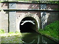
Dudley No.1 Canal Tunnel
Completed in 1792, the Dudley No 1 Canal provided one link between the Stourbridge Canal & the Birmingham Main Line. The tunnel is 2888 metres long, extremely low and narrow, and contains a network of natural caverns, basins and branch lines, serving the old quarries and mines. There are believed to be some 4500 metres of waterways which were at one time connected inside the tunnel, some of which are still accessible. Picture taken from SO 93267 89233.
Image: © Martyn B
Taken: 14 May 2005
0.08 miles
5
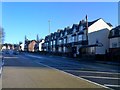
Stourbridge Road View
The view up the A4101 road towards Dudley Town.
Image: © Gordon Griffiths
Taken: 7 Jan 2018
0.09 miles
6
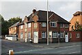
A former Public House?
On Stourbridge Road, Dudley.
Image: © Ian S
Taken: 3 Sep 2021
0.10 miles
7
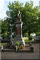
War Memorial in Borough Cemetery
Stourbridge Road, Dudley
Image: © Ian S
Taken: 3 Sep 2021
0.10 miles
8
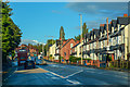
Dudley : Stourbridge Road A4101
Looking along Stourbridge Road.
Image: © Lewis Clarke
Taken: 27 Sep 2019
0.10 miles
9
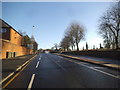
Stourbridge Road
The view up the road towards Dudley Town.
Image: © Gordon Griffiths
Taken: 2 Jan 2017
0.11 miles
10
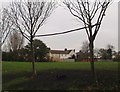
Playing Field off Clee Road
Located at the side of Clee Road. This field was once covered in black cinders and was known by local children as "The Black Oss". Football games were played there as well as a local cycle speedway team using it as their track.
Image: © Brian Clift
Taken: 6 Jan 2006
0.12 miles