IMAGES TAKEN NEAR TO
Kinlet Road, KIDDERMINSTER, DY14 9UF
Introduction
This page details the photographs taken nearby to Kinlet Road, DY14 9UF by members of the Geograph project.
The Geograph project started in 2005 with the aim of publishing, organising and preserving representative images for every square kilometre of Great Britain, Ireland and the Isle of Man.

There are currently over 7.5m images from over14,400 individuals and you can help contribute to the project by visiting https://www.geograph.org.uk
Image Map
Images are licensed for reuse under creativecommons.org/licenses/by-sa/2.0
Notes
- Clicking on the map will re-center to the selected point.
- The higher the marker number, the further away the image location is from the centre of the postcode.
Image Listing (9 Images Found)
Images are licensed for reuse under creativecommons.org/licenses/by-sa/2.0
Image
Details
Distance
1
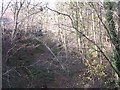
Woofferton & Kidderminster Branch GWR
Looking West along the trackbed of this branch line in the depths of Wyre Forest
Image: © Richard Greenwood
Taken: 2 Dec 2006
0.17 miles
2
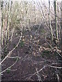
Woofferton & Kidderminster Branch GWR
Looking East along the trackbed of this branch line towards Far Forest Station (shown on 1940s OS Map)
Image: © Richard Greenwood
Taken: 2 Dec 2006
0.17 miles
3
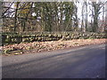
Wooferton & Kidderminster Branch GWR
Bridge over disused branch line at SO 721761
Image: © Richard Greenwood
Taken: 2 Dec 2006
0.18 miles
4
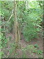
Route of old Woofferton and Kidderminster railway
The former branch railway line between Woofferton and Kidderminster. This line which went right through to Tenbury Wells, following much of the defunct Leominster Canal closed to passengers on 1 August 1962, and freight two years later.
Image: © Philip Halling
Taken: 3 Jun 2017
0.18 miles
5
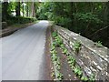
Bridge crossing the old railway line
Road bridge crossing the former branch railway line between Woofferton and Kidderminster. This line which went through to Tenbury Wells, following much of the defunct Leominster Canal closed to passengers on 1 August 1962, and freight two years later.
Image: © Philip Halling
Taken: 3 Jun 2017
0.18 miles
6
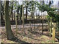
An old gate
Iron fence and gate, Wyre Forest.
Image: © Richard Webb
Taken: 3 Apr 2013
0.22 miles
7
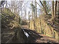
Bridge, Tenbury & Bewdley Railway
The railway from Bewdley to Woofferton closed in 1961 and was dismantled a few years later. During the 1960s most of the bridges were taken down.
Image: © Richard Webb
Taken: 3 Apr 2013
0.22 miles
8
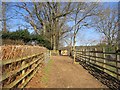
Path, Wyre Forest
Running between what would once have been small fields, now gardens.
Image: © Richard Webb
Taken: 3 Apr 2013
0.24 miles