IMAGES TAKEN NEAR TO
Warstone Meadows, BEWDLEY, DY12 1JB
Introduction
This page details the photographs taken nearby to Warstone Meadows, DY12 1JB by members of the Geograph project.
The Geograph project started in 2005 with the aim of publishing, organising and preserving representative images for every square kilometre of Great Britain, Ireland and the Isle of Man.

There are currently over 7.5m images from over14,400 individuals and you can help contribute to the project by visiting https://www.geograph.org.uk
Image Map
Images are licensed for reuse under creativecommons.org/licenses/by-sa/2.0
Notes
- Clicking on the map will re-center to the selected point.
- The higher the marker number, the further away the image location is from the centre of the postcode.
Image Listing (57 Images Found)
Images are licensed for reuse under creativecommons.org/licenses/by-sa/2.0
Image
Details
Distance
1
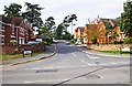
Threlfall Drive, Wribbenhall, Bewdley
Threlfall Drive is the entrance road, off Habberley Road, to a modern housing development.
Image: © P L Chadwick
Taken: 7 Oct 2012
0.06 miles
2
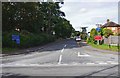
Trimpley Lane, Wribbenhall, Bewdley
The start of Trimpley Lane photographed from its junction with Habberley Road. The part of Bewdley on the east side of the River Severn is usually known as Wribbenhall. This particular part is or was known as Catchems End, although that name seems to be falling into disuse. On the left is a warning sign against using Trimpley Lane as a route into Bewdley's town centre. However, anyone ignoring this would still have to rejoin the main road to cross the River Severn by Bewdley Bridge.
Image: © P L Chadwick
Taken: 7 Oct 2012
0.08 miles
3
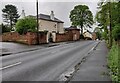
Spring Bank along Habberley Road at Catchems End
Image: © Mat Fascione
Taken: 6 May 2023
0.08 miles
4
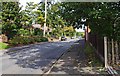
Habberley Road (B4190), Wribbenhall, Bewdley
Habberley Road is part of the B4190 road which goes to the outskirts of Kidderminster, and then on to the village of Wolverley.
Image: © P L Chadwick
Taken: 7 Oct 2012
0.09 miles
5
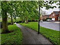
Path along Habberley Road in Catchems End
The houses are on Threlfall Drive.
Image: © Mat Fascione
Taken: 6 May 2023
0.09 miles
7
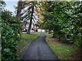
Path next to Habberley Road in Catchems End
Image: © Mat Fascione
Taken: 2 Sep 2023
0.10 miles
9
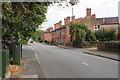
Habberley Road
The northern edge of Bewdley.
Image: © Bill Boaden
Taken: 14 Sep 2018
0.12 miles