
IMAGES TAKEN NEAR TO
Crescent Road, KIDDERMINSTER, DY11 6RN
Introduction
This page details the photographs taken nearby to Crescent Road, DY11 6RN by members of the Geograph project.
The Geograph project started in 2005 with the aim of publishing, organising and preserving representative images for every square kilometre of Great Britain, Ireland and the Isle of Man.

There are currently over 7.5m images from over14,400 individuals and you can help contribute to the project by visiting https://www.geograph.org.uk
Image Map
Images are licensed for reuse under creativecommons.org/licenses/by-sa/2.0
Notes
- Clicking on the map will re-center to the selected point.
- The higher the marker number, the further away the image location is from the centre of the postcode.
Image Listing (76 Images Found)
Images are licensed for reuse under creativecommons.org/licenses/by-sa/2.0
Image
Details
Distance
2
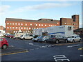
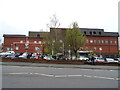
Kidderminster Treatment Centre
The former Kidderminster General Hospital that was downgraded to a treatment centre that includes a minor injuries unit, outpatients, day case surgery and imaging. There is a mobile CT scanner in the car park that was hired in to help with the imaging backlog resulting from the Covid-19 pandemic.
Image: © Chris Allen
Taken: 18 Feb 2021
0.05 miles
3
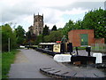
Kidderminster Lock 2005
It is interesting to compare this shot with David's, taken some 15 years earlier. A great deal of time and money has been recently been spent improving the overall condition of the canal and towpath in this area. The electricity sub-station looks uncannily similar to how it did all those years ago.
Image: © Martyn B
Taken: 7 May 2005
0.05 miles
4
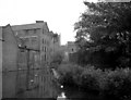
Industrial Buildings, Staffordshire and Worcestershire Canal, Kidderminster
Name of building not known, but this is the southern approach to the lock in the middle of Kidderminster. The church tower can just be seen in the background.
Image: © Dr Neil Clifton
Taken: 29 Aug 1976
0.05 miles
5
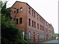
Dilapidated warehouse
Situated just outside the newly developed part of Kidderminster, this dilapidated warehouse patiently awaits its fate. Refurbishment perhaps, a renovated exterior housing state of the art offices, or the final death knell, demolition, to make way for housing ? Watch this space !
Image: © Martyn B
Taken: 26 Oct 2005
0.05 miles
6
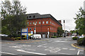
Kidderminster Hospital
More accurately known as Kidderminster Hospital and Treatment Centre. It is a relatively small hospital but appears to offer most of the normally expected services.
Image: © Bill Boaden
Taken: 14 Sep 2018
0.06 miles
7
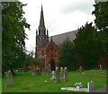
St John the Baptist Church, Kidderminster
Built in 1843.
Image: © Mat Fascione
Taken: 14 Jul 2007
0.07 miles
8
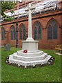
War Memorial and church of St John the Baptist, Kidderminster
In the Blakebrook area opposite Kidderminster Treatment Centre. The latter used to be a fully fledged district general hospital and its downgrading was strongly opposed by a local doctor who was elected as an independent MP on a save our hospital ticket.
Image: © Chris Allen
Taken: 17 Jul 2015
0.08 miles
10

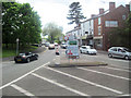
St John the Baptist, Kidderminster
A view from the bottom of Bewdley Hill. The church was consecrated and reconstructed during the Victorian era.
Image: © Bill Boaden
Taken: 14 Sep 2018
0.09 miles