
IMAGES TAKEN NEAR TO
Gypsy Lane, KIDDERMINSTER, DY11 5XS
Introduction
This page details the photographs taken nearby to Gypsy Lane, DY11 5XS by members of the Geograph project.
The Geograph project started in 2005 with the aim of publishing, organising and preserving representative images for every square kilometre of Great Britain, Ireland and the Isle of Man.

There are currently over 7.5m images from over14,400 individuals and you can help contribute to the project by visiting https://www.geograph.org.uk
Image Map
Images are licensed for reuse under creativecommons.org/licenses/by-sa/2.0
Notes
- Clicking on the map will re-center to the selected point.
- The higher the marker number, the further away the image location is from the centre of the postcode.
Image Listing (61 Images Found)
Images are licensed for reuse under creativecommons.org/licenses/by-sa/2.0
Image
Details
Distance
2
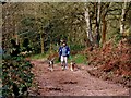
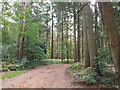
Dog walking in Kingsford Forest Park
The attractive Kingsford Forest Park is popular with many different types of visitor. These include walkers, naturalists, bird spotters, cyclists, horse riders, dogs and their walkers. Here two dogs take their human companion for a brisk trot. They are walking on the Horse Route as can be seen by the evidence in the foreground.
Image: © P L Chadwick
Taken: 4 Apr 2008
0.14 miles
4
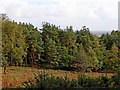
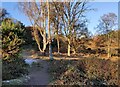
Cleared woodland by Kinver Edge in Staffordshire
This open cleared area is seen from the main waymarked path on the Kinver Edge ridge.
Image: © Roger Kidd
Taken: 17 Oct 2018
0.15 miles
6
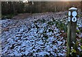
North Worcestershire Path in the Kingsford Forest Park
Image: © Mat Fascione
Taken: 9 Dec 2022
0.16 miles
8
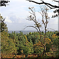
View from Kinver Edge in Staffordshire
This view is seen from near the main waymarked path on the Kinver Edge ridge.
Image: © Roger Kidd
Taken: 17 Oct 2018
0.17 miles
9
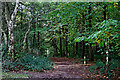
Waymarked bridleway on Kinver Edge in Staffordshire
This waymarked bridleway on Kinver Edge leads to the Blakeshall National Trust car park.
Image: © Roger Kidd
Taken: 17 Oct 2018
0.18 miles
10
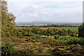
Heathland, farmland and woodland near Kinver in Staffordshire
South of Kinver, this heathland the western part of the Kinver Edge site, owned by the National Trust.
Image: © Roger Kidd
Taken: 17 Oct 2018
0.19 miles