
IMAGES TAKEN NEAR TO
Linnet Rise, KIDDERMINSTER, DY10 4TW
Introduction
This page details the photographs taken nearby to Linnet Rise, DY10 4TW by members of the Geograph project.
The Geograph project started in 2005 with the aim of publishing, organising and preserving representative images for every square kilometre of Great Britain, Ireland and the Isle of Man.

There are currently over 7.5m images from over14,400 individuals and you can help contribute to the project by visiting https://www.geograph.org.uk
Image Map
Images are licensed for reuse under creativecommons.org/licenses/by-sa/2.0
Notes
- Clicking on the map will re-center to the selected point.
- The higher the marker number, the further away the image location is from the centre of the postcode.
Image Listing (12 Images Found)
Images are licensed for reuse under creativecommons.org/licenses/by-sa/2.0
Image
Details
Distance
1
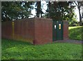
Electricity sub-station, Captain's Pool Road, Spennells, Kidderminster
Located near the junction with Turnstone Road.
Image: © P L Chadwick
Taken: 6 Oct 2013
0.10 miles
2
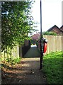
Footpath from Captain's Pool Road to Yellowhammer Court, Spennells, Kidderminster
Looking towards Yellowhammer Court. The red bin is for dog waste.
Image: © P L Chadwick
Taken: 6 Oct 2013
0.11 miles
3
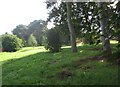
Open space adjacent to Captain's Pool Road, Spennells, Kidderminster
A pleasant green area adjacent to Captain's Pool Road. There is a footpath through it.
Image: © P L Chadwick
Taken: 6 Oct 2013
0.12 miles
4
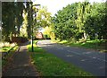
Captain's Pool Road, Spennells, Kidderminster
On this stretch of the road there is some public open space land on both sides.
Image: © P L Chadwick
Taken: 6 Oct 2013
0.17 miles
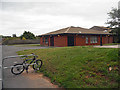
6
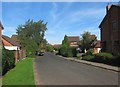
Turnstone Road, Spennells, Kidderminster
A residential road in suburban Kidderminster.
Image: © P L Chadwick
Taken: 6 Oct 2013
0.21 miles
7
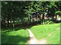
Open space near Captain's Pool Road, Spennells, Kidderminster
The other side of the trees is Captain's Pool Road. On the far side of that is more open space land.
Image: © P L Chadwick
Taken: 6 Oct 2013
0.22 miles

9
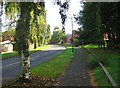
Captain's Pool Road, Spennells, Kidderminster
One of the main roads in the Spennells estate.
Image: © P L Chadwick
Taken: 6 Oct 2013
0.23 miles
10
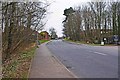
Heronswood Road, looking south, Spennells, Kidderminster
One of the main roads on the Spennells housing estate, it follows a U shaped course, joining Spennells Valley Road at two points.
Image: © P L Chadwick
Taken: 3 Mar 2013
0.24 miles