IMAGES TAKEN NEAR TO
Worcester Road, KIDDERMINSTER, DY10 4NE
Introduction
This page details the photographs taken nearby to Worcester Road, DY10 4NE by members of the Geograph project.
The Geograph project started in 2005 with the aim of publishing, organising and preserving representative images for every square kilometre of Great Britain, Ireland and the Isle of Man.

There are currently over 7.5m images from over14,400 individuals and you can help contribute to the project by visiting https://www.geograph.org.uk
Image Map
Images are licensed for reuse under creativecommons.org/licenses/by-sa/2.0
Notes
- Clicking on the map will re-center to the selected point.
- The higher the marker number, the further away the image location is from the centre of the postcode.
Image Listing (9 Images Found)
Images are licensed for reuse under creativecommons.org/licenses/by-sa/2.0
Image
Details
Distance
1
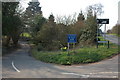
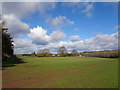
Tandy's Lane junction with the Stourbridge Road
Image: © Philip Halling
Taken: 31 Mar 2007
0.08 miles
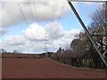
3
The Bellingtons from The Monarch's Way
Image: © Jeff Gogarty
Taken: 29 Jul 2021
0.13 miles
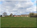
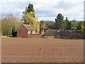
5
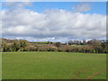
Looking over Tandy Lane
With Barnett Mill Farm on the left and Blundells Farm on the right.
Image: © Jeff Gogarty
Taken: 10 Mar 2019
0.18 miles
6
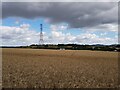
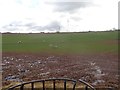
Pylon in a field from The Monarch's Way
Image: © Jeff Gogarty
Taken: 29 Jul 2021
0.19 miles
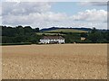
8
Frere Felde Farm, Woodrow Lane
This is called Middle Friar's Farm on some maps.
Image: © Jeff Gogarty
Taken: 10 Mar 2019
0.23 miles