IMAGES TAKEN NEAR TO
Merton Close, KIDDERMINSTER, DY10 3AE
Introduction
This page details the photographs taken nearby to Merton Close, DY10 3AE by members of the Geograph project.
The Geograph project started in 2005 with the aim of publishing, organising and preserving representative images for every square kilometre of Great Britain, Ireland and the Isle of Man.

There are currently over 7.5m images from over14,400 individuals and you can help contribute to the project by visiting https://www.geograph.org.uk
Image Map (Loading...)


Getting Data...Please wait
Leaflet Map data © OpenStreetMap
Images are licensed for reuse under creativecommons.org/licenses/by-sa/2.0
Notes
- Clicking on the map will re-center to the selected point.
- The higher the marker number, the further away the image location is from the centre of the postcode.
Image Listing (14 Images Found)
Images are licensed for reuse under creativecommons.org/licenses/by-sa/2.0
Image
Details
Distance
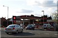
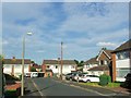
3
Petrol Station Forecourt on Birmingham Road
Image: © Anthony Parkes
Taken: 23 Apr 2016
0.08 miles

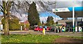
8
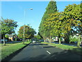
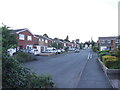
The A456 west entering outskirts of Kidderminster
Image: © Roy Hughes
Taken: 1 Oct 2022
0.14 miles
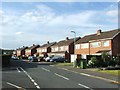
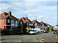
10
Hardy Avenue, Offmore Farm, Kidderminster
Image: © Chris Whippet
Taken: 30 Jul 2013
0.23 miles