IMAGES TAKEN NEAR TO
Barton Street, GRIMSBY, DN37 7LW
Introduction
This page details the photographs taken nearby to Barton Street, DN37 7LW by members of the Geograph project.
The Geograph project started in 2005 with the aim of publishing, organising and preserving representative images for every square kilometre of Great Britain, Ireland and the Isle of Man.

There are currently over 7.5m images from over14,400 individuals and you can help contribute to the project by visiting https://www.geograph.org.uk
Image Map (Loading...)


Getting Data...Please wait
Leaflet Map data © OpenStreetMap
Images are licensed for reuse under creativecommons.org/licenses/by-sa/2.0
Notes
- Clicking on the map will re-center to the selected point.
- The higher the marker number, the further away the image location is from the centre of the postcode.
Image Listing (12 Images Found)
Images are licensed for reuse under creativecommons.org/licenses/by-sa/2.0
Image
Details
Distance
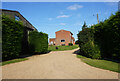
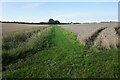
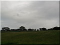
2
Approaching the Crofts
On the footpath from Irby upon Humber to Laceby.
Image: © Jonathan Thacker
Taken: 7 Feb 2013
0.04 miles
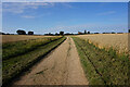
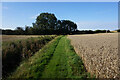
9
Irby Dales
Look closely and there is a light aircraft and a Kestrel fairly central to the photo
Image: © Tony Emptage
Taken: 20 Sep 2010
0.20 miles
